Simulators
Simulator, what is it?
When you mention simulators most people think of flight simulators and they have a pretty nice picture of what that might be. After computers became more advanced and got good graphics, there were also a lot of video games which simulated different "real life" situations. You could drive a Formula 1 car, or pilot a plane, drive a bus or a boat, and so on.
Meteorological simulators work in a smilliar manner, either to teach you something new or to test your existing knowledge. The applications are numerous, but here they will be used mostly as an educational tool.
Imagine that you are preparing for a shift. Before that you were in college, you did a lot of math and physics and finally earned your diploma. But it is not the same to derive an equation and to predict the weather. There is still a lot to learn and to understand.
Hopefully the simulators are going to be of big help here. "Real weather", mostly extreme weather is used to produce the story or the background of the simulator. At first it might be overwellming since you will not be familiar with the prognostic material. However the more you use simulators, it becomes easier to choose the right material for a certain situation.
Simulators have three main parts:
- Introduction to the Simulator
- Simulator
- Discussion or Summary
So far the simulators have been used by trainers in different courses or at their Met services as a testing tools. Trainer would make an introduction presentation at the beggining of the exercise and an interactive discussion at the end. There is no such possibility here. However, in the introduction you will get the basic information on the situation and what is expected of you. In the discussion section there is going to be an analysis of weather and the consequences of severe weather, as well as most important things you can or should learn from this case.
Technical details:
To control the animations (play, stop, previous, next, etc.) use the buttons above the images:

Recommendations for better experience during the simulation and known bugs:
Recommendations
- Use Firefox (not mandatory, but recommended)
- Do NOT click F5 or hit the 'Refresh' button in the web browser as the simulator will start from the beginning
Known bugs
- When the clock strikes full hour and your image queue doesn't refresh (you don't get new data) click again on that specific data or click on something else and then again on your desired data
- When trying to access specific material and the button seems as not working, click again on that specific data or click on something else and then again on your desired data
- When using Chrome and when in the main simulator window - when the shift ends you have to click multiple times on 'OK' button on top of the screen to be transferred to the Conclusion / Summary page
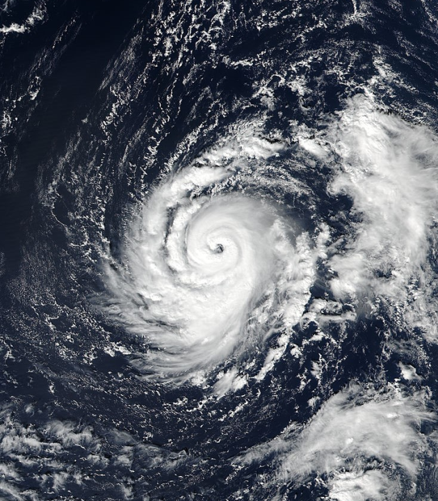
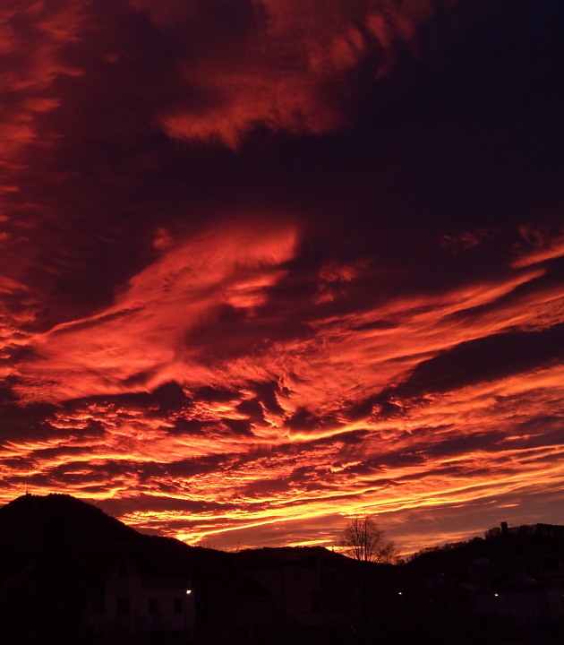
Ophelia simulator
|
Atlantic Autumn Weather Short Introduction: With the climate change and the temperature increase there are favourable conditions for hurricane genesis and life in places far more to the north and east than it was in the past. The number of hurricanes approaching or threatening Europe has been increasing with years, therefore it is useful to prepare for unexpected but possible situations. In this simulator you will be taking a shift in the Irish weather service. Hurricane Ophelia is on the way to Ireland and it is your responsibility to send warnings for the next day. Click on the simulator link and start you shift. |
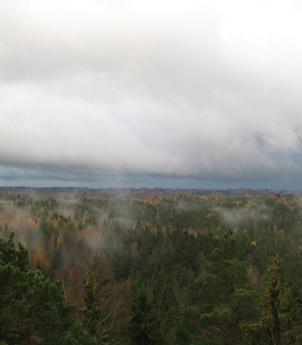
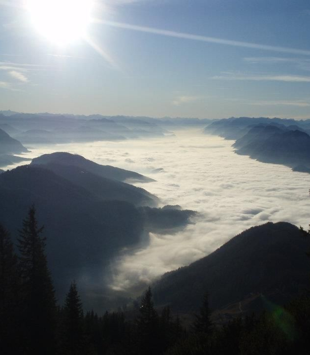
Alpine Autumn Weather
|
Alpine Autumn Weather Simulator Short Introduction: Alpine Meteorology is a very complex field that is influenced not only by topography but also by many physical processes that do not exist or are very different over flat areas. The wind pattern is one of the parameters that is extremely fascinating. It shows so many various faces and directly reflects the diversity of the dynamics above and around the mountains. While going through this simulator you will gain a deeper understanding and more experience of forecasting and nowcasting in the Alpine environment. During the virtual night shift you will "speak" to your boss, colleagues and the media. The combination of diverse data and imagery together with lots of interactivity leads you from task to task. Your observations and the evaluation of relevant weather parameters will result from your personal decisions which will not be judged but verified. |
Aviation simulator
|
Springtime weather at Riga airport Short Introduction: The months of April and May are the months were in Baltic countries there can be quite a variety of weather. Late snow and blizzards or some heavy precipitation due to fronts or low pressure areas can all be observed. Wind gusts from 20 to 25 m/s and convection, as well as thunderstorms with severe wind gusts and hail can also be observed. Turbulence, icing and low clouds are phenomena that are difficult to forecast for aviation. Also, these phenomena can be hazardous, causing difficulties for airports and can in general cause damage to property. It is very important for the aviation forecasters to issue warnings as soon as possible so the clients can take immediate actions. The simulator will enable you to forecast as an aviation forecaster in the Baltic Region. There will be more than one significant phenomena. You will have 5 tasks during the simulator and they will appear in the task section according to the time. You will have to write TAFs, Warnings, SIGMETs and give TRENDs by using TafEditor during your shift.
|
Fog
|
Fog simulator Short Introduction: Fog and low stratus phenomena can occur at many different places on the globe and at different times of year and day. It's a difficult measure not only to forecast but also to monitor and can have a determining influence on our daily life. During this fog simulator you will have to advise the pilot of a small airplane during his flight across the Alps. It is however not specifically developed for aviation meteorologists. It is made for anyone who wants to practice a common fog situation with basic data (forecast and nowcast), a meteorological background is helpful but not mandatory. The forecast area is Austria but the simulator can be used by all kind of nationalities.
|
Convection

|
Convection in Carpathian Basin Short Introduction: The time from April to October is the most favorable part of the year for convection in Europe. Different types of convective systems may occur during that period, such as single and multi-cell storms, squall lines or super cells. These phenomena can be hazardous, causing a lot of damage and in some cases even fatalities. It is very important for the forecasters to issue warnings as soon as possible so people can take immediate actions. This simulator will enable you to practice forecasting convection over the Carpathian Basin using synop charts, satellite, radar and NWP data (you will find all the data available in the simulator). Your task will be to issue special warnings for two outdoor events.
|
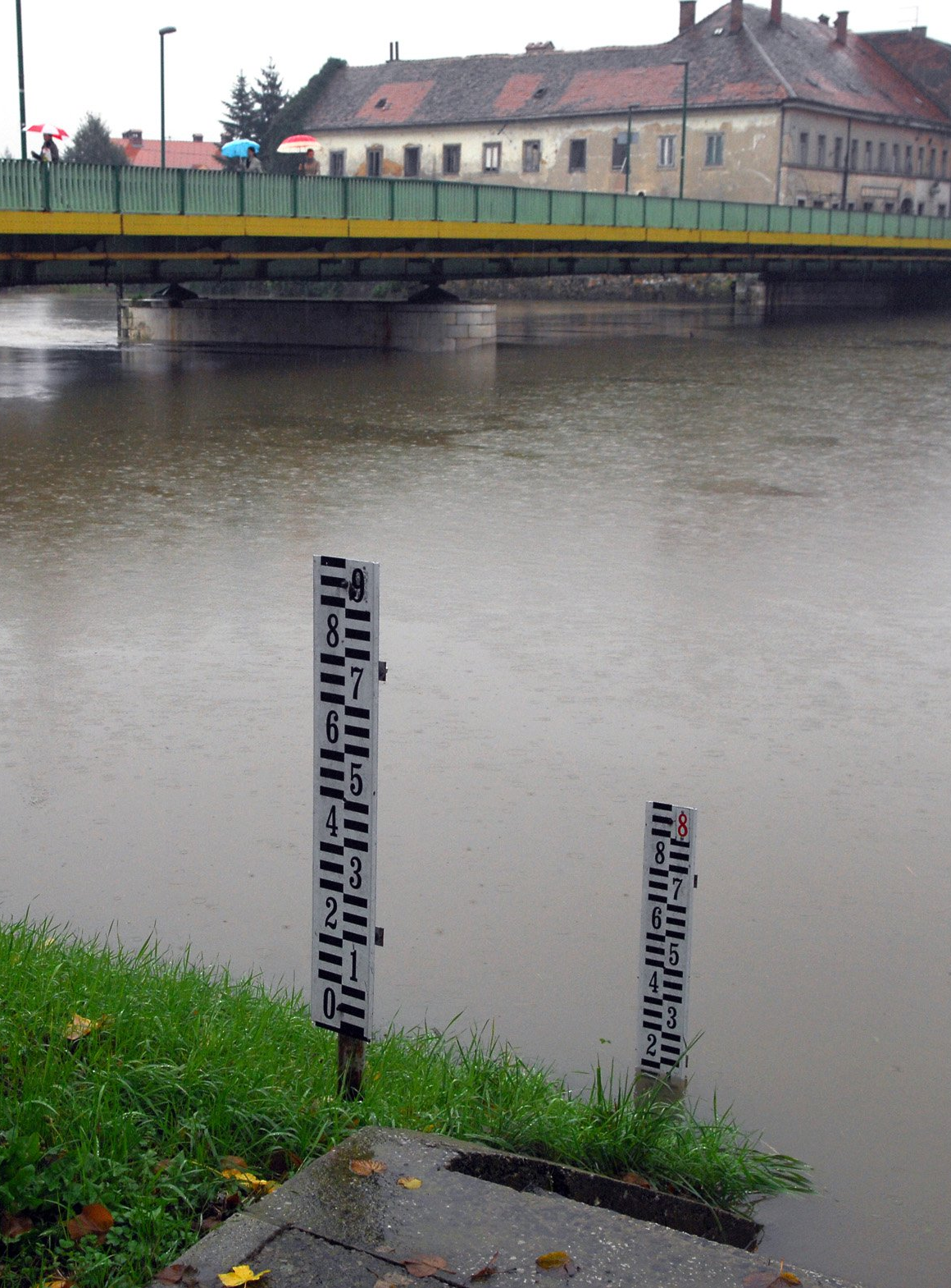
Flooding
|
Kupa-Korana Hydro Simulator
|
Winter weather
|
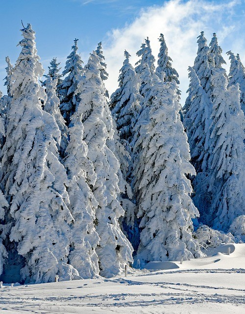
Winter Weather in Central Europe
|