Overview and new aspects
Thunderstorms and their synoptic environment are discussed in a separate chapter (compare Development of Thunderstorms and MCSs During the Whole Period).
|
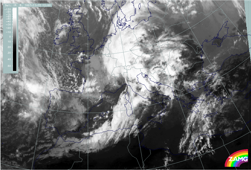
12 November 1997/12.00 UTC - Meteosat IR image
|
|
|
In the IR image of 12.00 UTC the most pronounced features are:
- The further development of the Wave leading to an advanced spiral structure over the west Alps
- The intensification of the Cold Front cloud band especially west of Sardinia and, as already discussed before, over the Algerian coast as a consequence of a jet streak crossing;
- A lot of structured cloudiness including high lee cloudiness in the thickness ridge in front of the Cold Front band over the Balkan Peninsula, similar to 06.00 UTC.
|
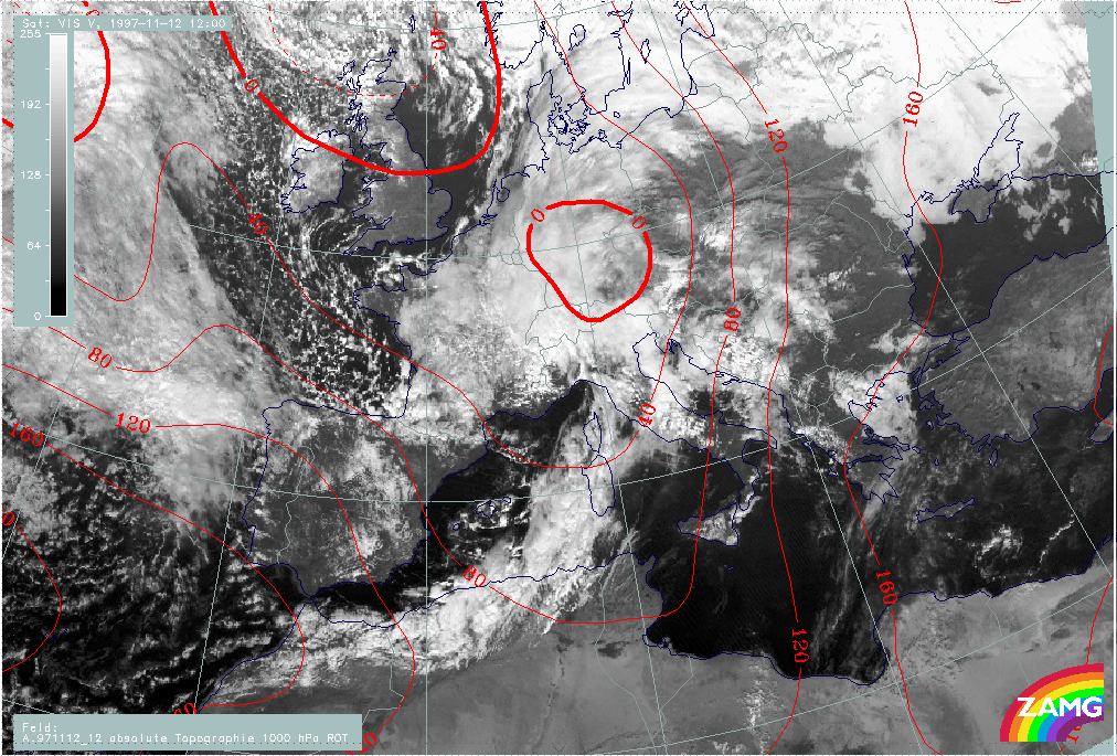
12 November 1997/12.00 UTC - Meteosat VIS image; red: height contours 1000 hPa
|
|
|
The VIS image superimposed by the 1000 hPa height surface adds some more information:
- There is a notable discrepancy between the main surface minimum over south Germany and the spiral configuration with its centre over north-west Italy; this is discussed and explained later;
- In contrast to the IR image, in which high lee cloudiness can be identified within the thickness ridge cloudiness over the Balkan Peninsula, the main characteristic in the VIS image is the lower lee cloudiness in the form of parallel cloud lines, as for instance over central Italy in the lee of the Apennines and the Croatian coast, and Bosnia and Yugoslavia in the lee of the Balkan mountains.
|
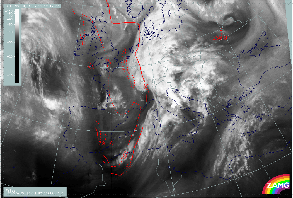
12 November 1997/12.00 UTC - Meteosat WV image; red: height of PV = 2 units
|
|
|
The WV imagery, together with the height of the PV = 2 unit surface, does not contain new features. There is black dry air on the rear side of the frontal cloud system with very dry stratospheric air down to approximately 400 hPa over Spain behind that jet streak that caused the intensification in the frontal cloud band. In the area of the wave the tropopause is at about 300 - 350 hPa which is quite common for these kinds of Waves.