Webcast


EXIM - the product
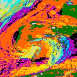
Extrapolated Imagery (EXIM) is one of EUMETSAT's NWCSAF/GEO products. EXIM kinematically extrapolates satellite imagery and selected NWCSAF products by up to a lead time of 1 hour.
The software developer gives an overview over EXIM's functionalities, the algorithm, challenges faced, and recent developments introduced in the latest version, which is currently under review for being released.