Webcast


CMORPH: Refinement of the technical aspects of the second generation CMORPH
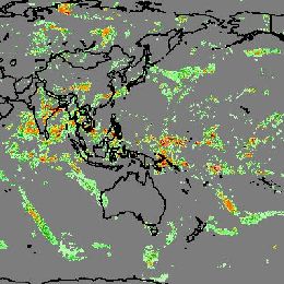
As reported at the AMS annual meeting of 2015, a prototype system was developed for the second generation CMORPH to produce global analyses of
30-min precipitation on a 0.05olat/lon grid over the entire globe from pole to pole through integration of information from satellite observations
as well as numerical model simulations. The second generation CMORPH is built upon the Kalman Filter based CMORPH algorithm of Joyce and Xie
(2011). Inputs to the system include rainfall and snowfall rate retrievals from passive microwave (PMW) measurements aboard all available low
earth orbit (LEO) satellites, precipitation estimates derived from infrared (IR) observations of geostationary (GEO) as well as LEO platforms,
and precipitation simulations from numerical global models. Key to the success of the 2nd generation CMORPH, among a couple of other elements,
are the development of a LEO-IR based precipitation estimation to fill in the polar gaps and objectively analyzed cloud motion vectors to capture
the cloud movements of various spatial scales over the entire globe. In this presentation, we report our recent work on the LEO-IR based
precipitation estimation.
The prototype algorithm for the LEO IR precipitation estimation is refined to achieve improved quantitative accuracy and consistency with PMW
retrievals. AVHRR IR TBB data from all LEO satellites are first remapped to a 0.05olat/lon grid over the entire globe and in a 30-min interval.
Temporally and spatially co-located data pairs of the LEO TBB and inter-calibrated combined satellite PMW retrievals (MWCOMB) over the tropics and
mid latitudes and CloudSat radar precipitation over high latitudes and polar regions are then collected to construct tables. Precipitation at a
grid box is derived from the TBB through matching the PDF tables for the TBB and the MWCOMB/Cloudsat-precipitation. This procedure is implemented
for different season, latitude band and underlying surface types to account for the variations in the cloud – precipitation relationship.
Quantitative experiments are conducted to optimize the LEO IR based precipitation estimation technique using MWCOMB/CloudSat.
Filed under Keywords:
CMORPH, precipitation, model simulation, satellites, CloudSat