Webcast


Measuring Wind and Waves from Space - Altimeters
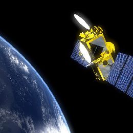
Conventional observations of wind and wave data from ships and buoys are limited by coverage. Due to the increasing size of ships, observers are more removed from the ocean surface and wave estimation is more difficult. Satellite altimeters are a downward pointing radar that scan the oceans and provide very accurate observations of wave height, wind speed, sea surface height anomaly. Our understanding of sea level-rise is due in large part to the record of altimeter based sea level data.
Forecasters responsible for ocean and coastal waters must rely on any information for situational awareness and to keep forecasts relevant. Satellite altimeters provide very accurate coincident measures of significant wave height and wind speed. Integrated data display and product generation systems offer the opportunity for forecasters to compare a variety of observations, imagery, and numerical model predictions to enhance awareness and communicate hazards to mariners. This session will discuss the use by forecasters of altimeter wave and wind data with other sources in an operational forecast center.
Filed under Keywords:
Wind, sea, waves, MetOp, Jason, AltiKa, scatterometer, altimeter