Webcast


How to Use H SAF Snow Extent Products for Snowmelt Runoff Predictions
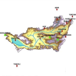
Developing satellite technology offers new products to simulate different hydrological processes. These products are invaluable in hydrological applications for mountainous areas where observation data is relatively limited. The H SAF project offers snow products over complex topographies.
The daily snow cover dataset derived by H SAF SE-E-SEVIRI (H10) is evaluated on the mountainous terrain of the Upper Euphrates Basin. Snow-covered area data is processed and analyzed. Snow depletion curves are extracted and used as basic forcing data in a conceptual model. The impact of the product is assessed by the model performance for runoff prediction results (KGE> 0.85) and also demonstrated in comparison to a well-known data set of MODIS.