Webcast


Soil Moisture products for agricultural drought monitoring
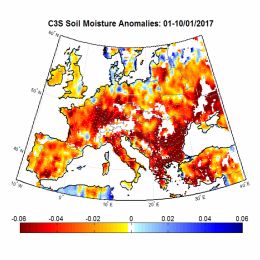
Satellite soil moisture (SM) products are highly suitable for monitoring agricultural drought. As satellite SM products cover long time periods and are available for large regions, the spatial and temporal analysis of drought conditions can be performed. The presentation will describe the theoretical background for performing drought analysis with satellite SM data, and will show some examples for the actual use of the data in identifying drought conditions in some regions worldwide.