Webcast


Making use of Weather Satellites for Bushfire Fire Monitoring within Australia
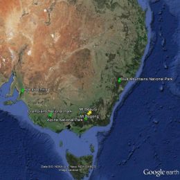
Apart from the central desert areas, the Australian landscape, from the tropics of Far North Queensland to the southern tip of Tasmania has climatic conditions and vegetation which are conducive to wildfires throughout the year. The most volatile of these areas being the south eastern parts of Australia which includes the states of South Australia, Victoria, New South Wales and Tasmania. Australia has large tracts of wilderness which can only be monitored by aircraft and satellite and as such, remote sensing for bushfires within the landscape is virtually mandatory throughout the dry season in the tropics and the summer periods for the southern states. This talk looks at some of the ways that Satellite Remote Sensing has assisted emergency managers for preparedness, response and recovery, the three most important factors for any emergency operation.
Filed under Keywords:
bushfires, Australia, fire monitoring