Webcast


IR Channels
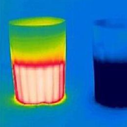
This presentation deals with the origins of infrared (IR) radiance, with description of different IR spectral regions and selection of spectral bands for meteorological satellites.
In next part practical aspects of utilization of IR satellite data will be presented, from processing fundamentals through image mapping, visualization, practical usage up to recognition and interpretation of various meteorological features. Presentation will explain also how can measured IR radiation provide physical information from different atmospheric layers and how this information can be associated with model outputs. Finally some notes on anisotropy of Earth-Atmosphere system in IR window will be demonstrated on real comparison of simultaneous measurements of the same scene but from different satellite positions in space.
Filed under Keywords:
IR channels, MSG, SEVIRI, anisotropy