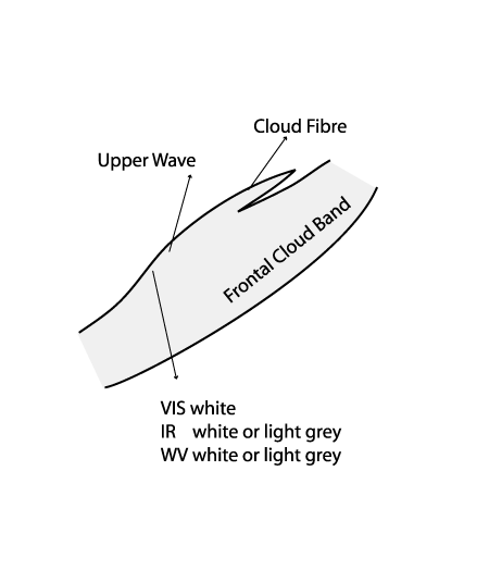
Cloud Structure In Satellite Images
An Upper Wave is a smooth Wave feature accompanied by a rather flat convex bulge of clouds on the rearward side of a frontal cloud band.
At first sight, the upper wave seems to look similar to a classical wave - but a more detailed examination reveals some differences (see Wave ):
- often the Upper Wave bulge as seen in satellite imagery is less pronounced than the "classical" Wave;
- there is generally less amplification than with a "classical" Wave;
- an Upper Wave propagates rapidly along the rear side of the frontal cloud band;
- in an Upper Wave there is often a fibre cloud, indicating strong upper level winds (schematic below).
Appearance in the basic channels
- IR 10.8 imagery
- Convex cloud bulge at the rear of a frontal cloud band, often large elongation of the cloud bulge
- Grey to white regions due to high level clouds. The wave bulge appears brighter than the surrounding frontal clouds
- Sharp edges to the cold air cloud behind the front
- Fibres indicating strong upper winds or a jet streak
- WV 6.2 imagery:
- Bright grey or white due to the height of the cloud bulge, which appears more enhanced (brighter) in relation to the surrounding frontal cloud band
- Sharp edges to the black dry zone to the rear of the front
- WV dark zone at the rear, indicating sinking of dry air from the stratosphere
- VIS 0.6 imagery:
- White due to the thickness of the cloud bulge
- Fibrous characteristics due to the high-level clouds
Appearance in the basic RGBs:
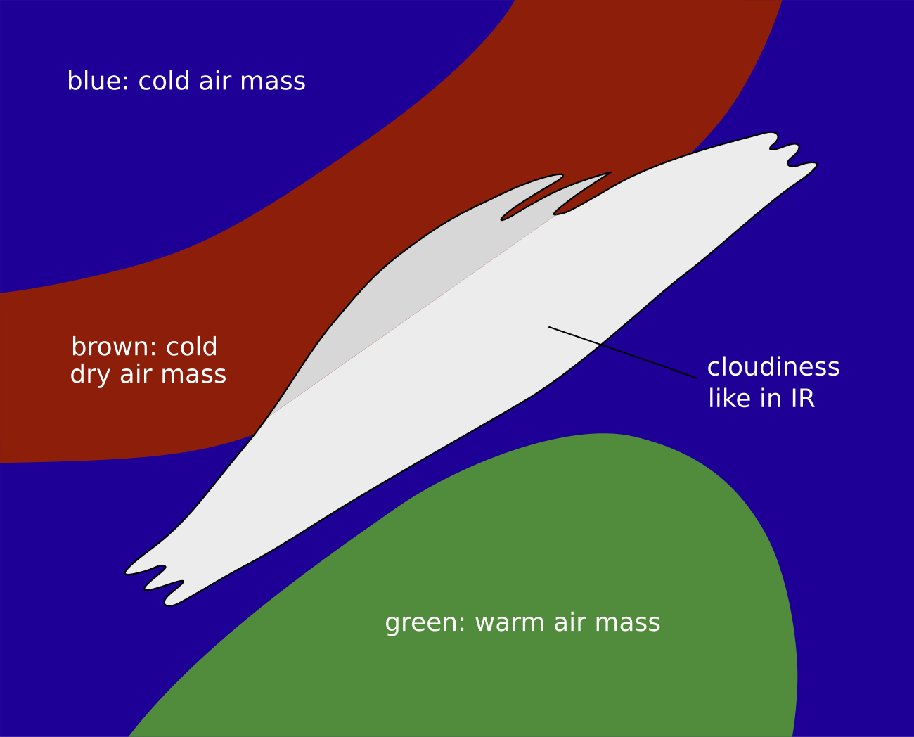
Airmass RGB
The most striking features around the cloud band of the cold front and the upper wave is the dark-red stripe along the rearward edge. It indicates cold, dry air which is sinking. Further westward and to the north, blue colours overwhelm the image, indicating the cold air present in that region. In the southern and south-eastern regions, greenish colours indicate the warmer air masses that exist there.
The clouds look very similar to the appearance in the IR image.
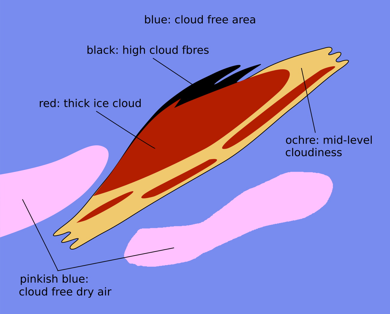
Dust RGB
Around the cold front cloud band and the cloud bulge of the upper wave there are blue colours where there is cloud free ground. Embedded cloud systems in that region are mostly ochre.
The cloud bulge of the upper wave is mostly dark-red or dark-red above ochre colours. This indicative of thick ice cloud above the mid-level cloud, belonging to the frontal cloud band. In most cases the rearward edge of the cloud bulge is accompanied by a black cloud fibre which represents the cloud fibre at the jet axis.
 |
 |
Legend: Basic RGB schematics.
Left: Airmass RGB; right: Dust RGB.
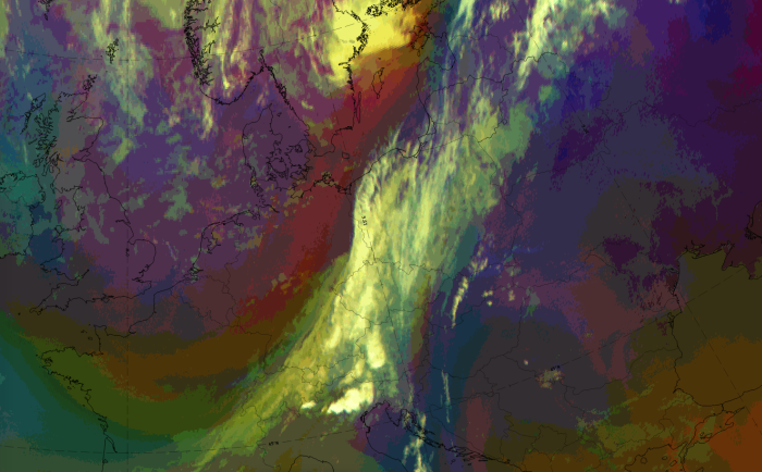
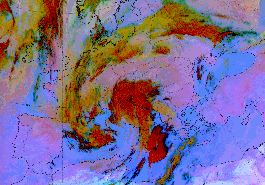
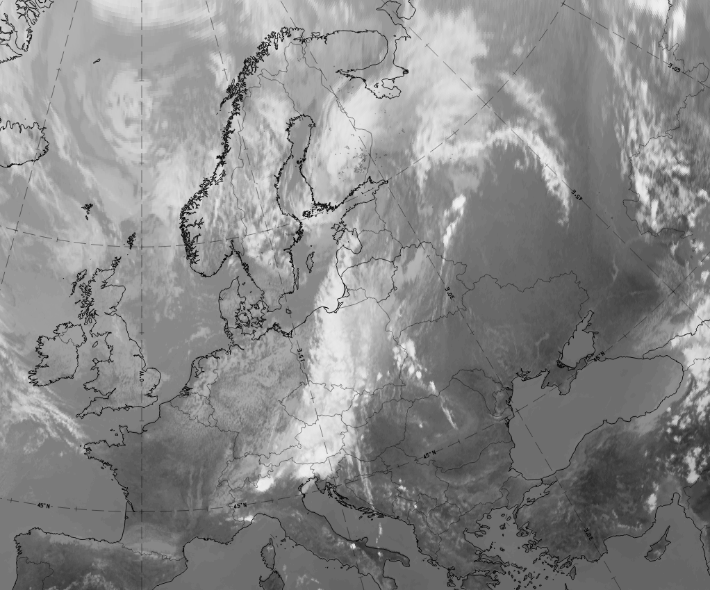
The case from 11 July 2020 at 06 UTC is an example of an Upper Wave in a late development stage.
|
|


|
|

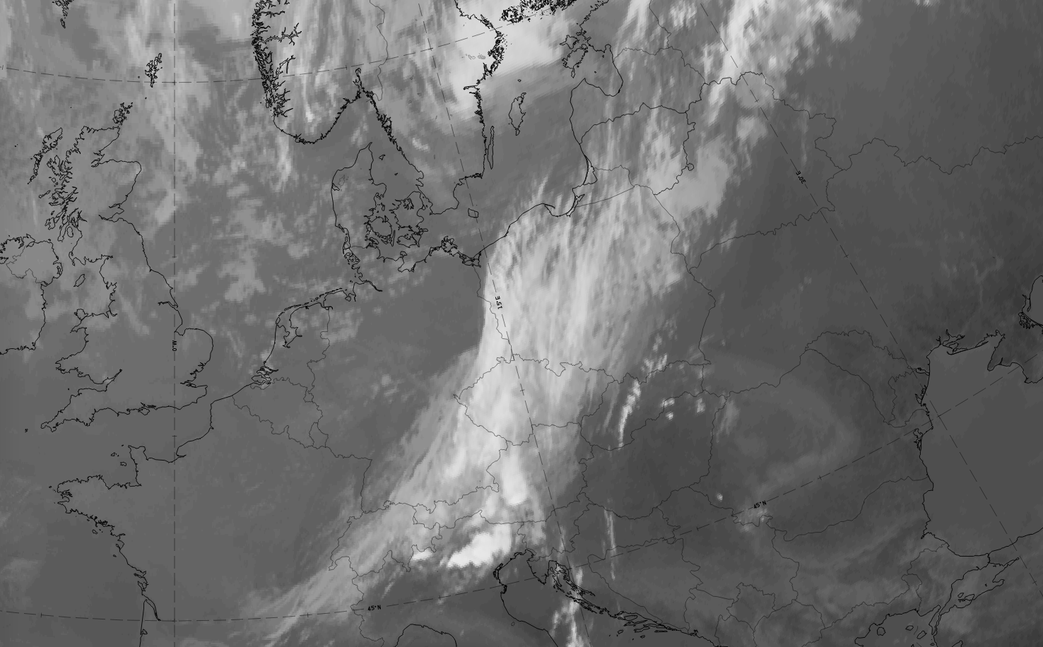
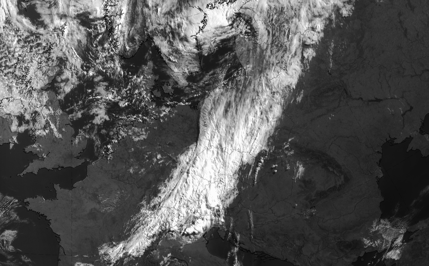
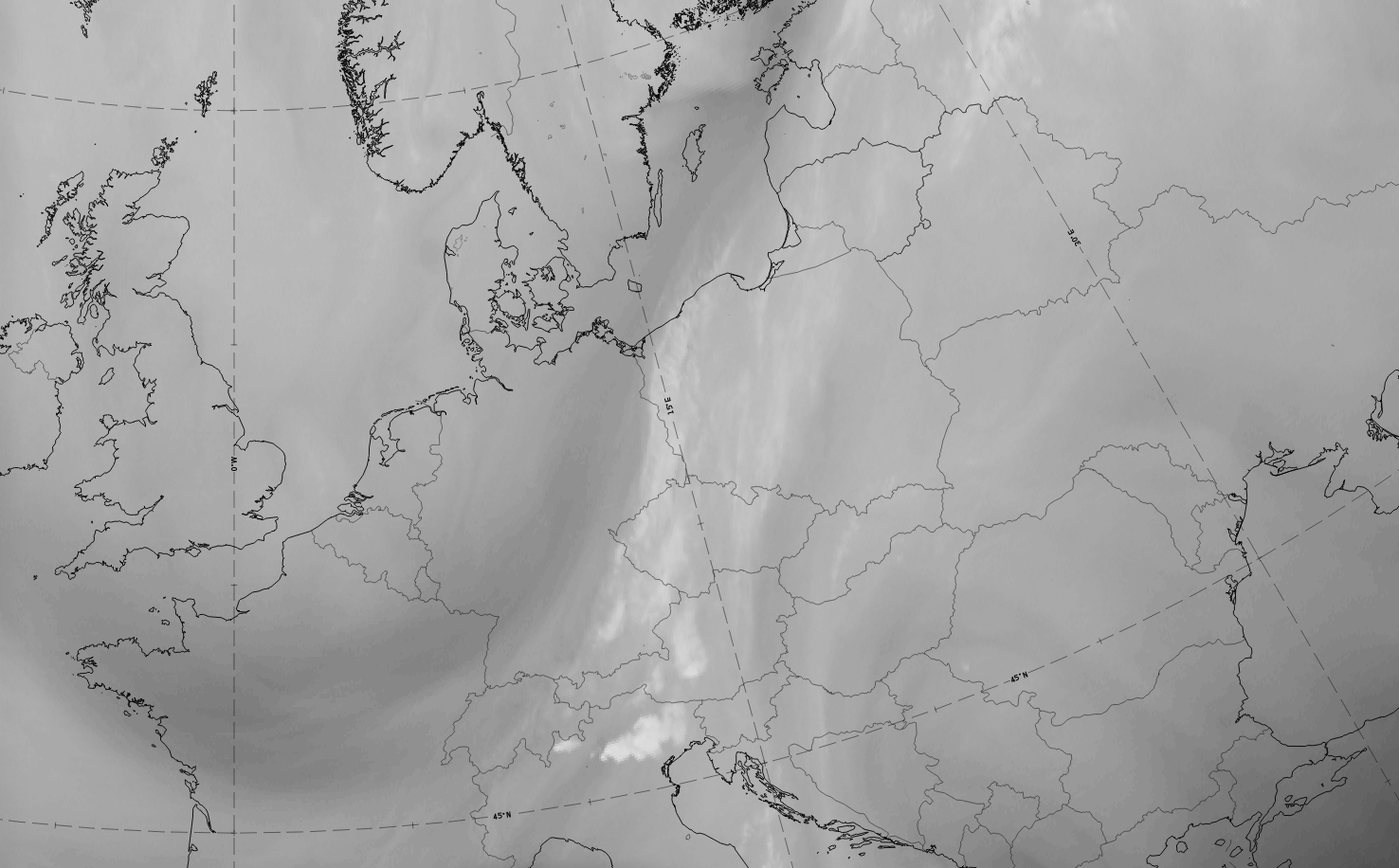
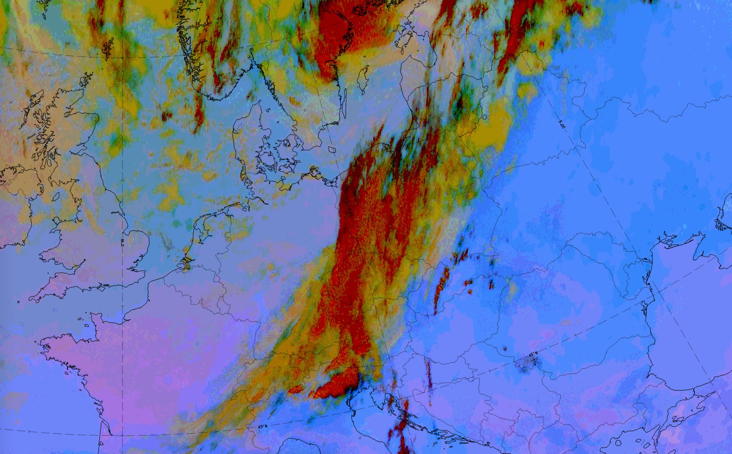
11 July 2020 at 106 UTC: 1st row: IR (above) + HRV (below); 2nd row: WV (above) + Airmass RGB (below); 3rd row: Dust RGB + image gallery.
*Note: click on the image to access the image gallery (navigate using arrows on keyboard).
| IR | White to light grey cloud bulge; lumpy in appearance; cloud fibre at rearward edge extending from Czech Republic northward to northern Poland; frontal cloud band to the east with grey colours. |
| HRV | Cloud bulge of upper wave is mostly grey. White colours in the frontal cloud band to the east. |
| WV | Light grey colours in the cloud bulge of the upper wave; dark stripe along rearward edge of cloud band and upper wave indicating sinking dry air. |
| Airmass RGB | Cloud band and cloud bulge of the upper wave appears similar to IR; dark-brown stripe along the rearward edge of the cloud band and cloud bulge, corresponding to the dark stripe in WV that indicates sinking dry air. |
| Dust RGB | In the cloud bulge of the upper wave, dark-red colours dominate and indicate thick ice cloud. The frontal cloud band is mostly ochre for mid-level clouds. |
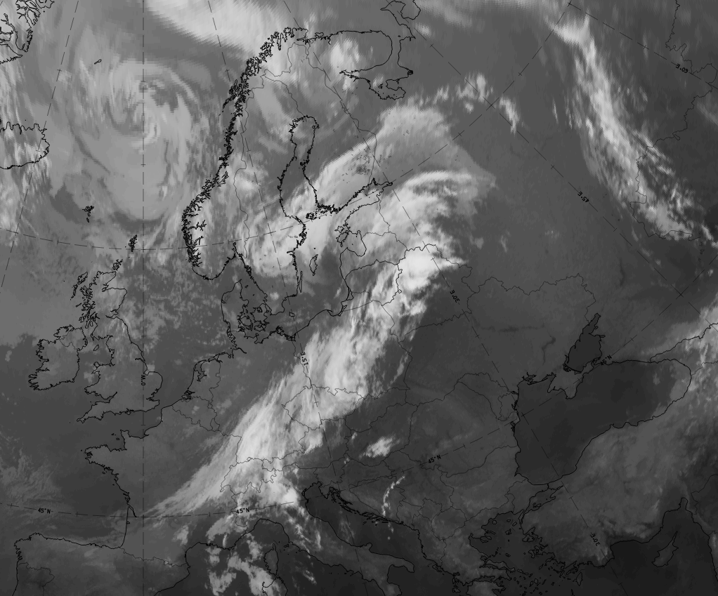
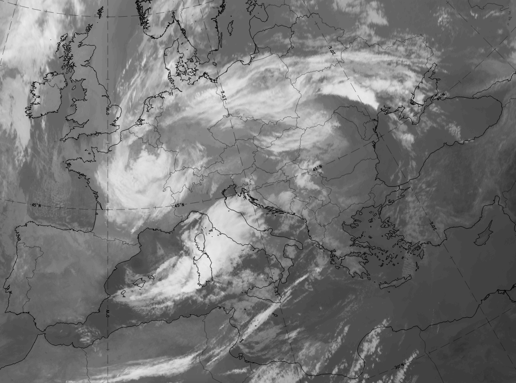
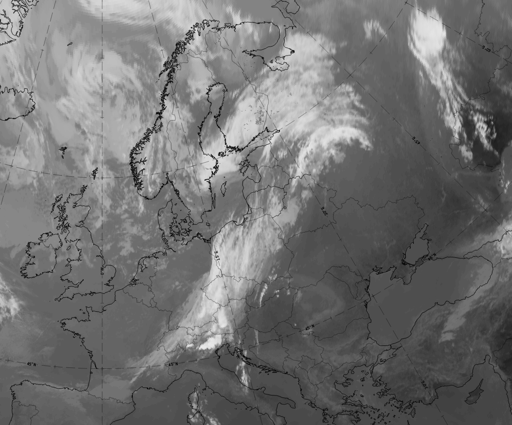
 Loop: 22 August 06.00 - 00.00 UTC hourly image loop Loop: 22 August 06.00 - 00.00 UTC hourly image loop
|
Distinction between Wave and Upper Wave according to appearance in satellite images
A Wave and an Upper Wave often look similar in satellite imagery. In order to distinguish between them one can highlight and recognise a number of differences.
| Upper Wave | Wave |
|---|---|
| More elongated flat cloud bulge. | Distinct, more amplified cloud bulge. |
| Sharp edge to the rear, fibre cloud common. | Fibre cloud less common. |
| Multi-layered or high non-convective cloud. | Multi-layered cloud, convective cells often embedded. |
| Distinct, relatively fast propagation along the rearward side of the frontal cloud band. | Slow propagation; possible further cyclogenesis. |
 |
 |
| Distinct, relatively fast propagation along the rearward side of the frontal cloud band. | Slow propagation; possible further cyclogenesis. |
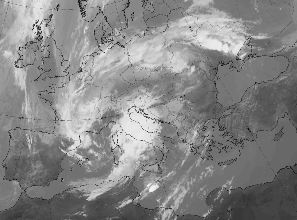
 11 July 2020 at 00 |
 27 September 2020 at 06 UTC |
 11 July 2020 at 06 UTC |
 27 September 2020 at 12 UTC |
 11 July 2020 at 12 UTC |
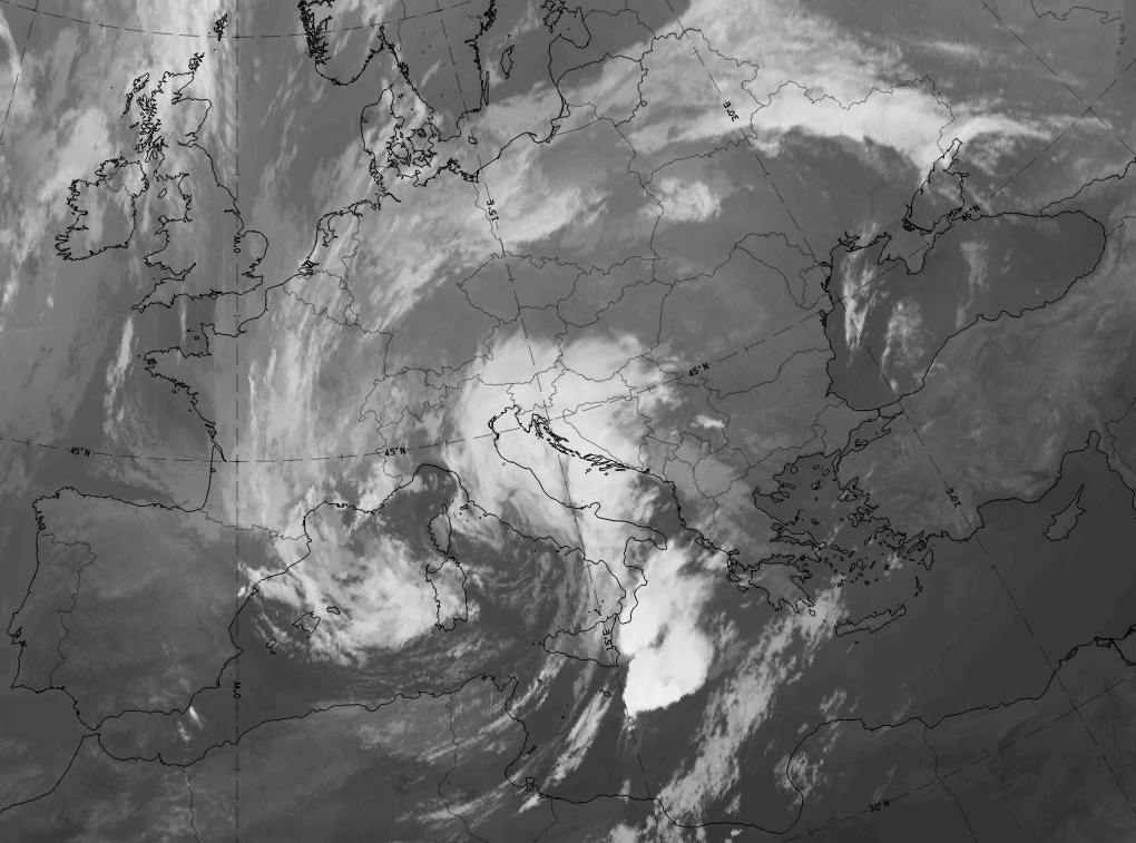 27 September 2020 at 18 UTC |
| In the case from 11 July 2020 a cloud bulge and the cloud fibre of an upper wave can be followed from 00 UTC till 18 UTC from South Germany to Poland and finally to the western parts of the Baltic States. The cloud bulge does not grow remarkably in size and the fibre can be followed in all three points of time. | On the case from 27 September 2020 a bright cloud bulge indicating a classical wave can be followed from 06 UTC till 18 UTC from north and central Italy to the north Adriatic sea, North Italy and Croatia. The cloud bulge becomes much larger developing from a wave stage to an early occlusion stage. |