Introduction
1. Introduction
The use of geostationary satellite (GEO) data for monitoring and analyzing atmospheric conditions has revolutionized our understanding of the Earth's weather and climate systems. However, when it comes to applying GEO satellites at high latitudes, a unique set of challenges emerges, since the area of interest is far from the nadir point (the point on the Earth's surface directly below the satellite).
This learning module explores the challenges that operational meteorologists and researchers face when using GEO data at high latitudes. Additionally, it presents potential solutions to the issues associated with the data, including misplacement of clouds and misleading representation of colors in satellite imagery.
The following areas will be addressed in this learning module:
- Effect of solar zenith angle
- Effect of slanted viewing angle
- Parallax shift
- Limb cooling
- Short wave visible channels
- Resolution
- Issues related to using some RGB products at high latitudes
- Usage of Satellite Application Facilities (SAF) products at high latitudes
- Advantages of polar satellite data at high latitudes
The use of polar satellites, called low Earth orbit (LEO) satellites, is crucial in high latitude regions due to the enhanced spatial resolution their instruments have in comparison to GEO satellites. The spatial resolution of GEO imagery was improved significantly by the December 2022 launch of the Flexible Combined Imager (FCI) instrument on the Meteosat Third Generation (MTG) satellite mission, but challenges remain, such as those related to low solar elevation angles.
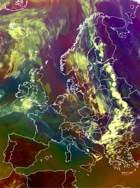
SEVIRI Airmass RGB: 24 July 2024, 12:00 UTC.