Typical colours of the Ash RGB images
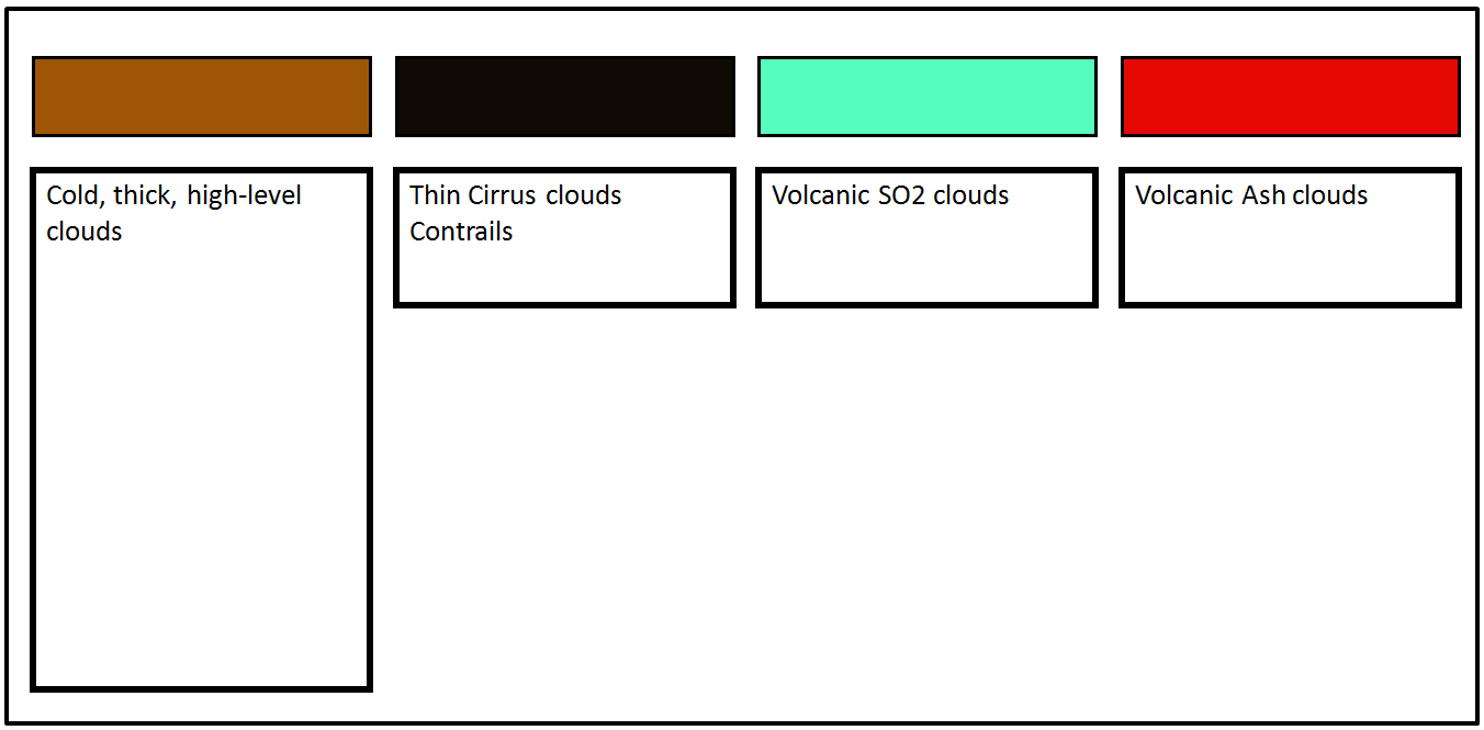
Fig. 5 shows the most typical colours of the Ash RGB images. The image contains many variations of colours (see for example Fig. 6) as the colours depend on many things, such as temperature, viewing angle, type of material, particle concentration, phase and size, etc.
| Figure 5: Typical colours of Ash RGB images (Source: Jochen Kerkmann, MSG Interpretation Guide, EUMETSAT, http://www.eumetsat.int) |
|
Interpretation of the colours
- Sulphur dioxide clouds are typically green, but can be yellow with ash mixed in.
- Depending on the height, temperature and particle size, ash plumes goes from being bright red and pink (when very cold) to magenta (when warm) to yellow (when they are composed of very small ash particles).
- Thin cirrus appears black or dark blue
- High thick clouds and thunderstorms appear brown, with shades of orange and red for clouds composed of smaller ice particles.
- Middle- and low-level clouds may appear in lighter shades of brown, blue, and green (at high latitudes and near the edges of the images of full Earth disk).
- Blowing dust may appear as magenta.
- Moist low levels, particularly the boundary layer, appear in bluish shades.
- Surface features appear in lighter shades of blue, green, and dull magenta. Desert appears even brighter.
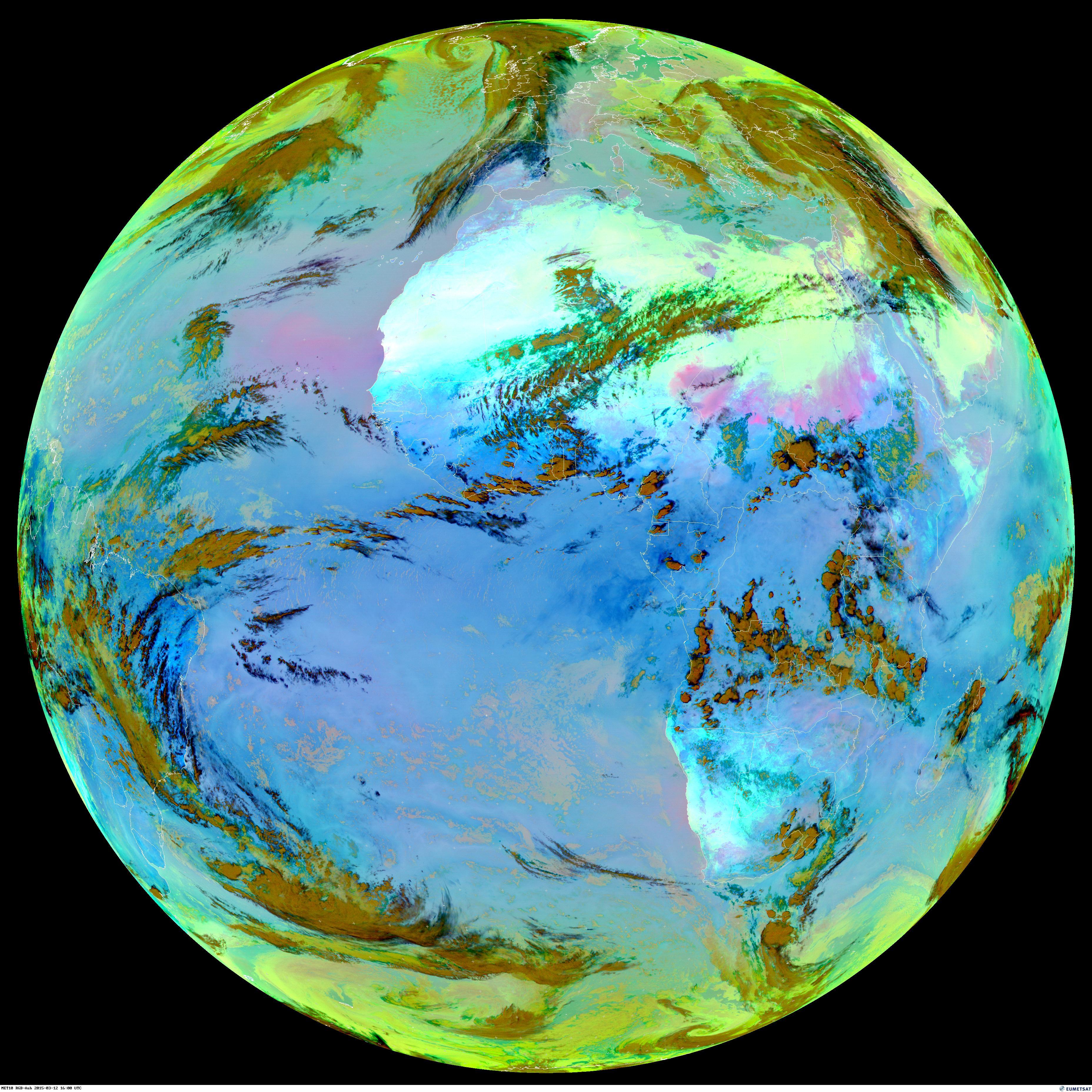
| Figure 6: Global view of Ash RGB, 12 March 2015 at 16:00 UTC |
|