Weather Events
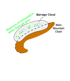
Barrage cloudiness forms if a flow of sufficiently moist air is forced to rise over a mountain barrier. This process generally results in prolonged precipitation.
| Parameter | Description |
| Precipitation |
|
| Temperature | Cold stable shallow air mass on the windward side of the mountains, warm dry on the lee side. |
| Wind (incl. gusts) | Weakening within the Barrage region, strong winds on the lee side |
| Other relevant information |
|
|
|
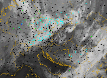
03 January 2005/12.00 UTC - Meteosat 8 IR10.8 image; weather events (green: rain and showers, blue: drizzle, cyan: snow, red:
thunderstorm, black: no precipitation)
|
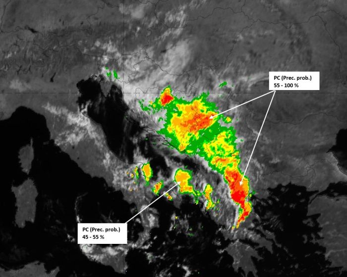
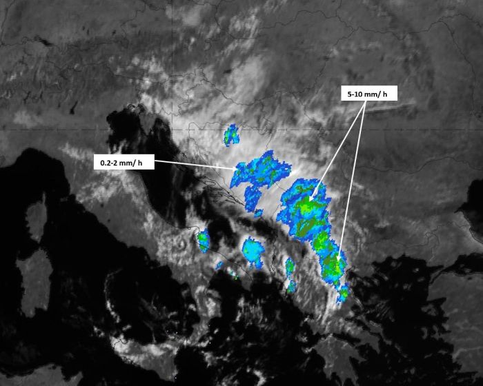
The Convective Rainfall Rate product and the Precipitating Clouds product clearly show strong signals of convective activity and thick precipitating clouds within the cloudy area that forms on/behind the barrier. The lee side descent of air, and the associated dissipation of clouds on the downwind side, creates a distinct edge in the images from both SAFsproducts.
|
|
Precipitating Clouds product (left) and Convective Rainfall Rate product (right) on 06 August 2020, 09 UTC.
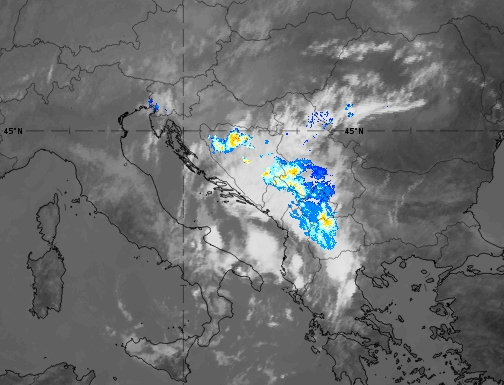
A similar picture is obtained with the Opera radar image. In the image below, at 09 UTC on 06 August 2020, it detects rainfall in the area of dense, opaque clouds, on the windward side of the barrier:
Opera Radar (colour) with IR 10.8 (grey background) on 06 August 2020, 09 UTC.
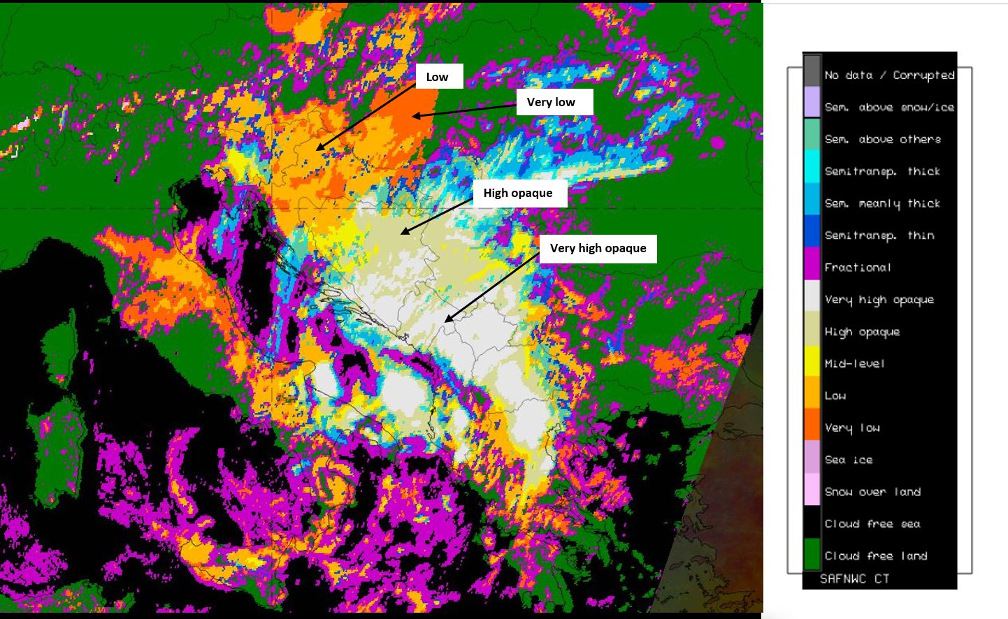
The Cloud Type analysis provides details of the height, transparency, thickness and type of the clouds. This can be very helpful information, for example during the night when VIS channels cannot be used, or to highlight specific features.
Cloud Type product on 06 August 2020, 09 UTC.
