Weather Events
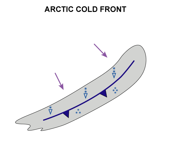
The precipitation connected with Arctic Cold Fronts is in the form of snow.
| Parameter | Description |
| Precipitation |
|
| Temperature |
|
| Wind (incl. gusts) |
|
| Other relevant information |
|
|
|
|
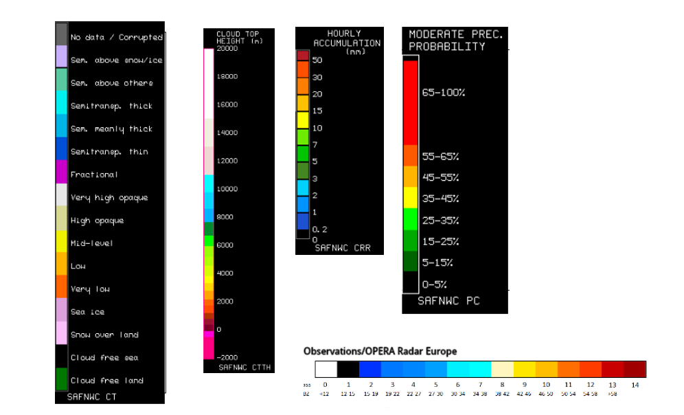
Legend:
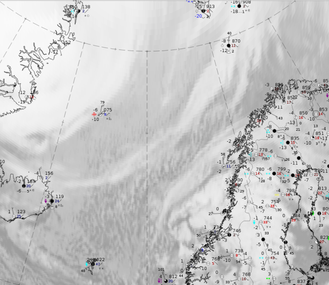
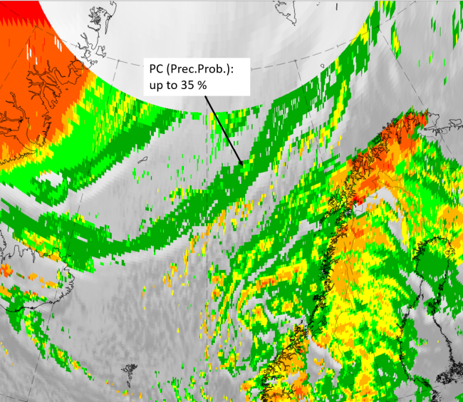
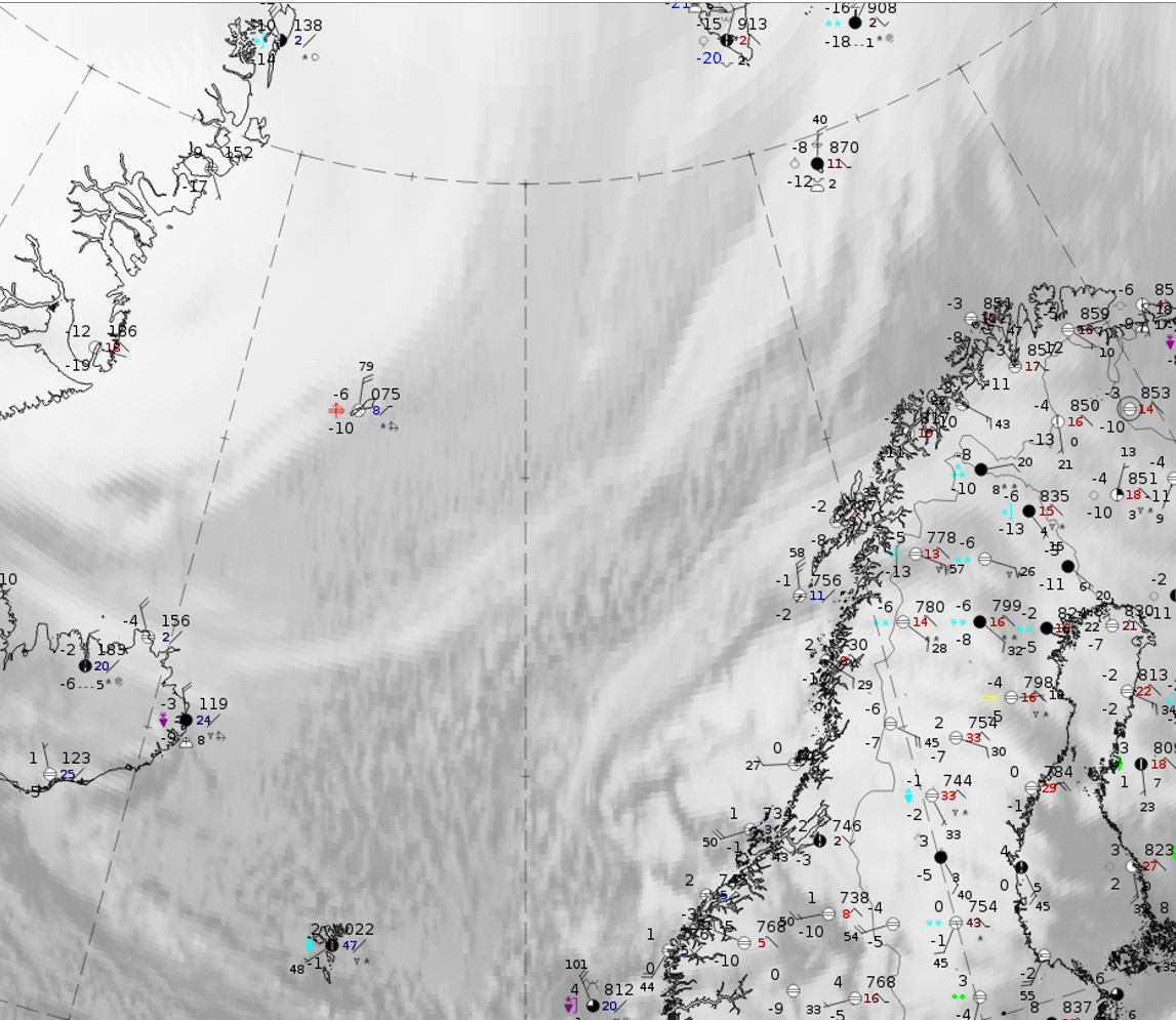
2 April 2020 at 12UTC: IR + synoptic measurements (above) + probability of moderate rain (Precipitting clouds PC - NWCSAF).
Note: for a larger SYNOP image click this link.
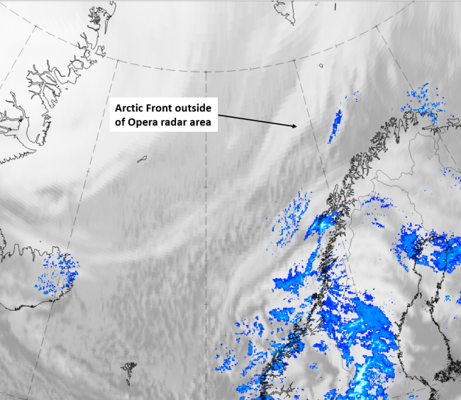
Because of the geographical location of Arctic Cold Fronts, there are not many synoptic stations available to demonstrate the typical weather features. In the case from 2 April at 12 UTC, snowfall can be detected in the northern part and convection with showers in the southern part. The probability of moderate precipitation, computed from the NWCSAF only for geographical latitudes < 75 N, is very low, with values up to 35 %.
|
|
|
|
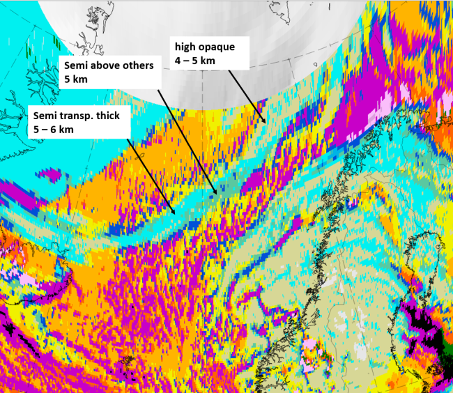
Legend:
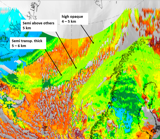
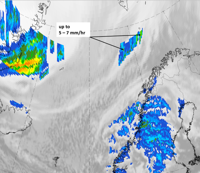
2 April 2020 at 12 UTC, IR, with the following fields superimposed:
1st row: Cloud Type (CT NWCSAF) (above) + Cloud Top Height (CTTH - NWCSAF) (below); 2nd row: Convective Rainfall Rate (CRR NWCSAF) (above) + Radar intensities from Opera radar system (below).
For identifying values for Cloud type (CT), Cloud type height (CTTH), precipitating clouds (PC), and Opera radar for any pixel in the images look into the legends. (link)