Basic ideas behind enhanced satellite images
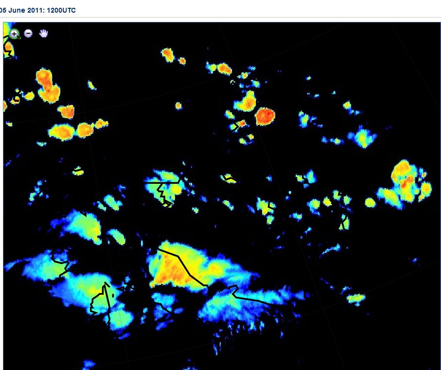
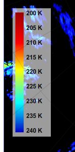
This application typically uses IR images that represent cloud top temperatures. Different colors are assigned to specific temperature ranges.
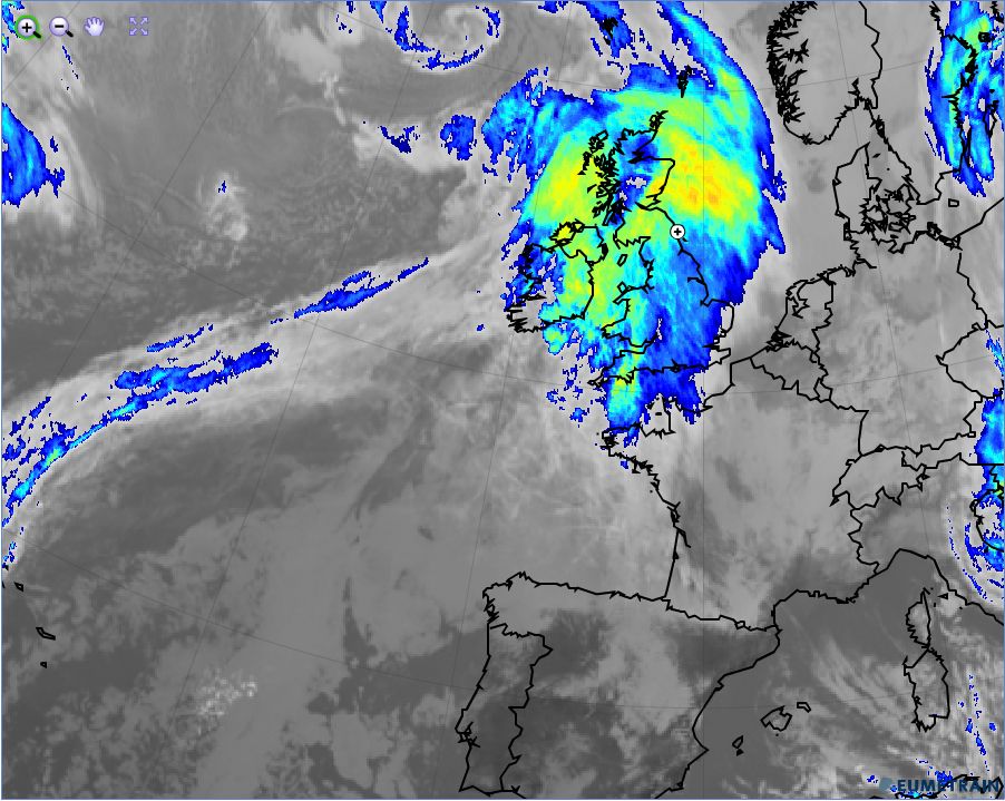
The following example presents the same case as the one that was already used for the basic channels - a winter case. The coldest temperatures can be found in the cloud tops of a warm front shield; the high cloud fibers at the rear of the cold frontal cloud band are also enhanced by the corresponding colors.
However, enhanced IR images are especially useful for convective cloud systems; a summertime example with an unstable situation is shown in the case below. Beyond simply coloring the coldest clouds, enhanced IR images reveal structures typical for convective cells and systems like cold rings, warm cores, U/V structures and overshooting tops much more easily than basic channels alone would.