Weather Events
| Parameter | Description |
| Precipitation |
|
| Temperature |
|
| Wind (incl. gusts) |
|
| Other relevant information | - |
|
|
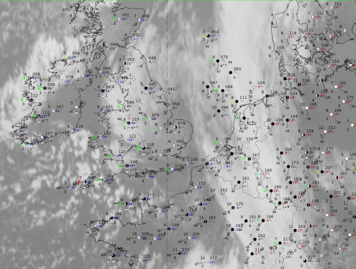
Note: for a larger SYNOP image click this link.
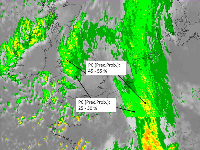
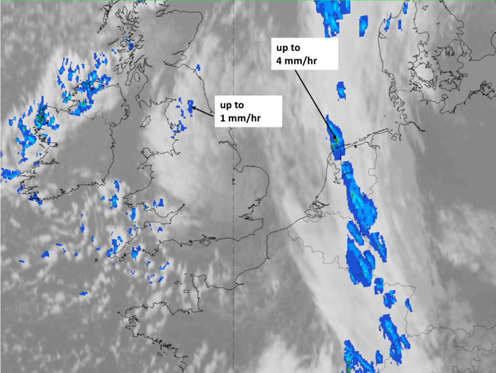
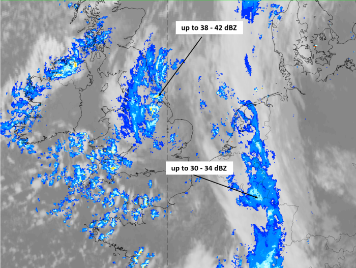
Weather observations of the mature stage of the instant occlusion process on 17 January 2020 at 12 UTC show wide spread precipitation in the instant occlusion spiral over England as well as in the frontal feature over West Europe and Germany with highest intensities in the mergence area. Rain showers appear at the southernmost part of the spiral. Precipitation probabilities are higher than 50% only in a few small regions.
|
|
|
|
Legend:
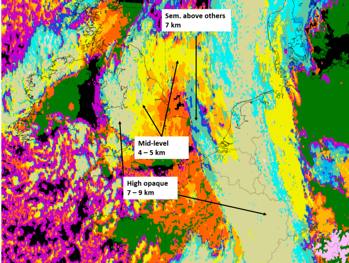
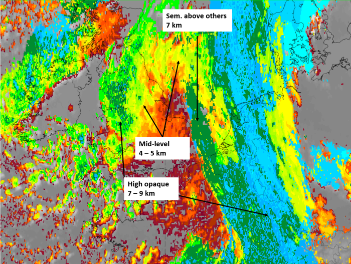
17 January 2020, 12 UTC, IR; superimposed: 1st row: Cloud Type (CT NWCSAF) (above) + Cloud Top Height (CTTH - NWCSAF) (below); 2nd row: Convective Rainfall Rate (CRR NWCSAF) (above) + Radar intensities from Opera radar system (below).
For identifying values for Cloud type (CT), Cloud type height (CTTH), precipitating clouds (PC), and Opera radar for any pixel in the images look into the legends. (link).

