Key Parameters
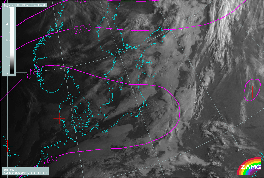
- Height contours at 1000 hPa:
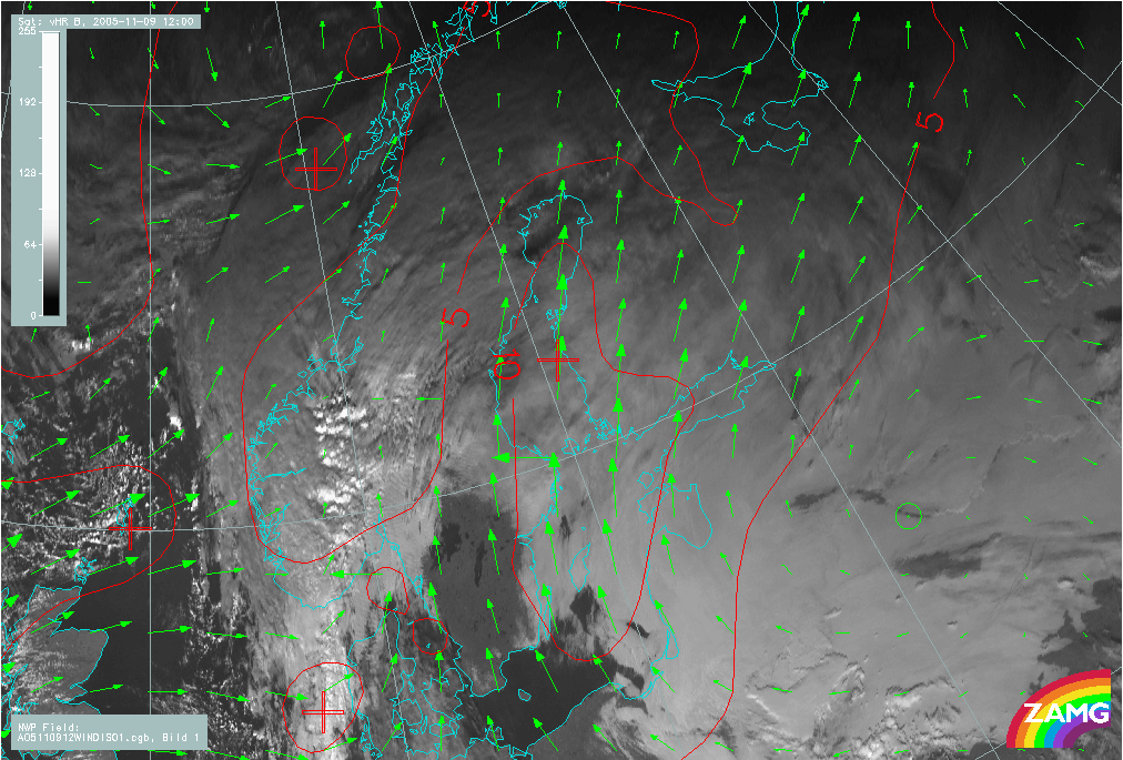
High pressure or high pressure ridge with weak surface winds typical environment especially for radiation fog. - Wind vectors at 1000 hPa:
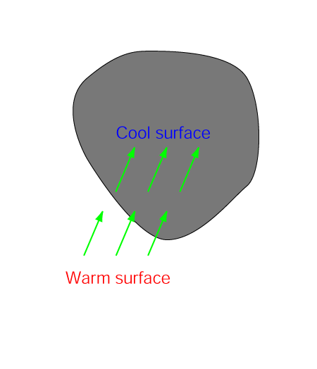
Moderate wind from relatively warm surface onto cold surface typical for advection St/Fog. - Height contours at 500 hPa:
Anticyclonic upper level ridge at warm sector supports the absence of middle- and upper level clouds and support favourable conditions for St/Fog at lower troposphere. - Surface dewpoint depression:
Very small difference between the surface temperature and dewpoint indicates fog or mist at the surface.
Height contours at 1000 hPa
|
|
04 October 2005/06.00 UTC - Meteosat 8 HRV image, magenta: height contours 1000 hPa
|
|
|
Wind vectors at 1000 hPa
|
|
09 November 2005/12.00 UTC - Meteosat 8 HRV image, green: wind vectors 1000 hPa; red: wind isotachs (m/s) 1000 hPa
|
|
|
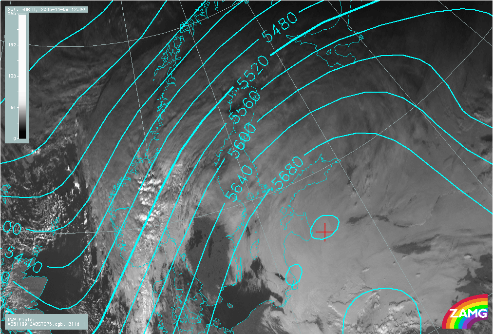
Height contours at 500 hPa
|
|
09 November 2005/12.00 UTC - Meteosat 8 HRV image, cyan: height contours 500 hPa
|
|
|
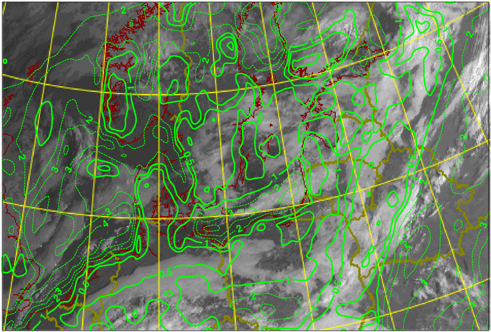
Surface dewpoint depression
|
|
04 October 2005/06.00 UTC - Meteosat 8 HRV image, green: dew point depression
|
|
|