Chapter III: The appearance of snow in the Cloud Phase RGB and its components
Table of Contents
- Chapter III: The appearance of snow in the Cloud Phase RGB and its components
- The appearance of snow in the Cloud Phase RGB and its components
The appearance of snow in the Cloud Phase RGB and its components
In this section we analyse the appearance of snow in NOAA-20 VIIRS images taken on 11 January 2021 at 12:05 UTC. The components of the Cloud Phase RGB are first analysed, and then the resulting RGB image.
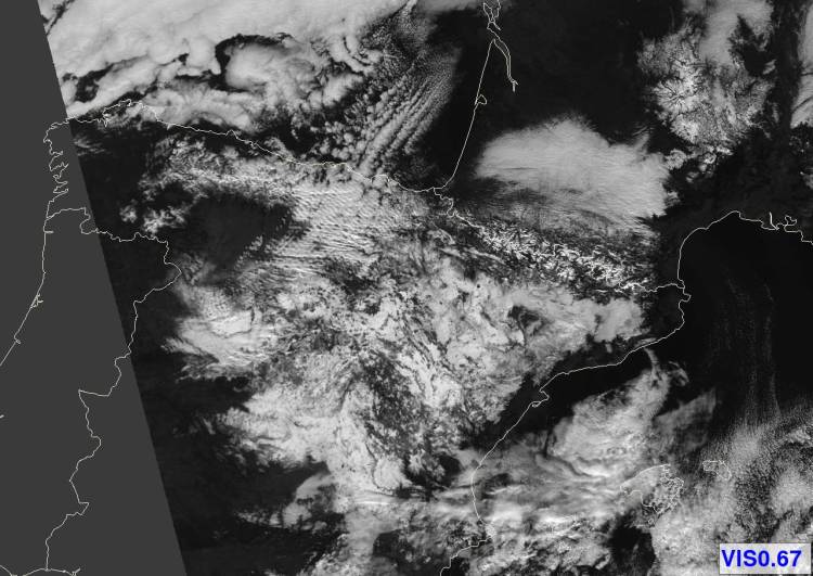
In the VIS0.67 image (Figure 4) snow appears bright, therefore it distinguishes snow-covered and snow-free land well but does not distinguish snow from clouds.
Figure 4: NOAA-20 VIIRS VIS0.67 image visualized in the 0-100% reflectivity range, 11 January 2021 12:05 UTC.
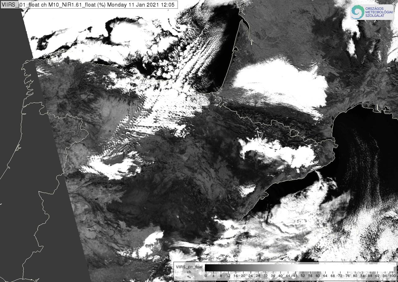
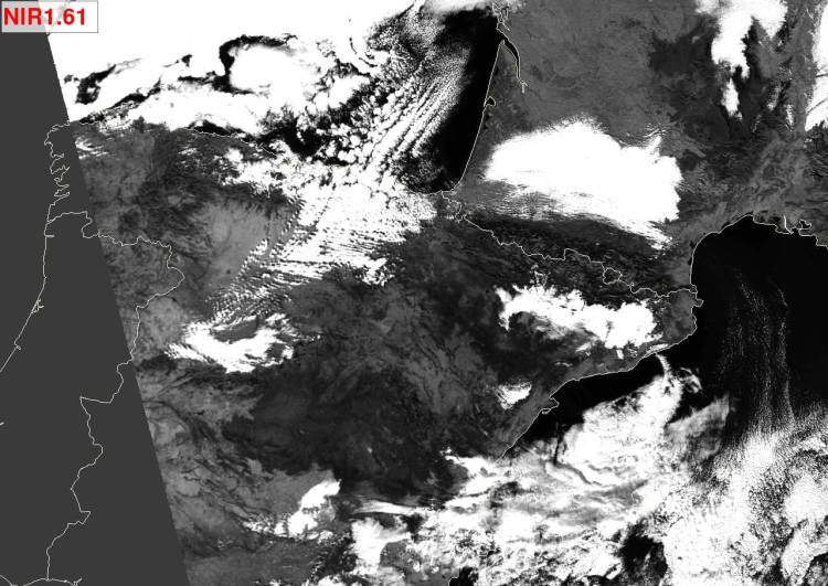
In the NIR1.61 image (Figure 5) the snow appears dark. This image distinguishes snow from clouds well. The snow is darker than the snow-free land; however, the snow-covered area is not homogeneously dark, it is somewhat lighter in the Iberian Mountain Chain. Here the fresh snow is fine and the snow cover is almost continuous so, based on Figure 3 and also on the satellite image, we can state that NIR1.61 is sensitive to the snow grain size.
Figure 5: NOAA-20 VIIRS NIR1.61 image visualized in the 0-50% reflectivity range (values above 50% are depicted white), 11 January 2021 12:05 UTC.
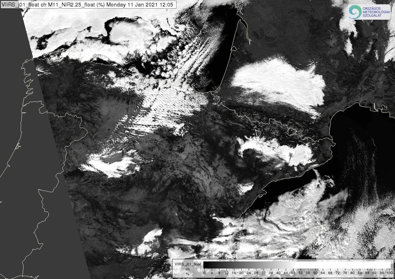
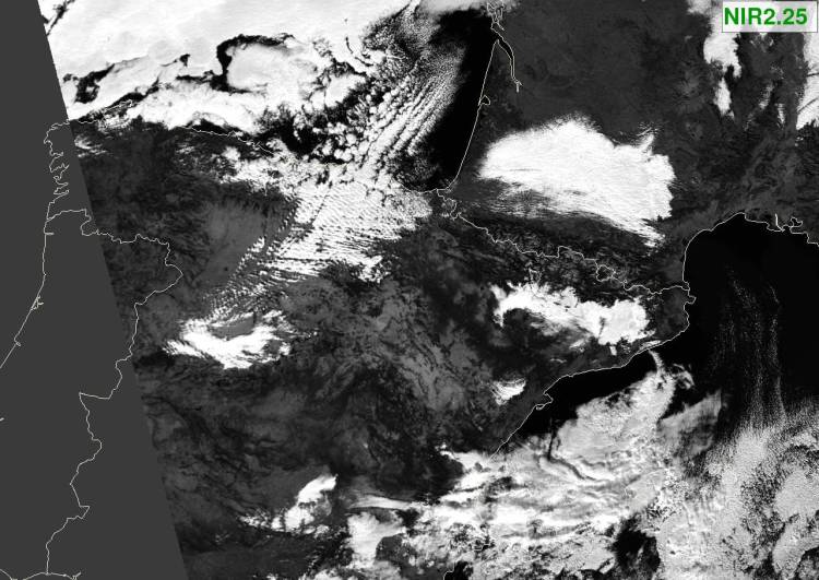
In the NIR2.25 image (Figure 6) the snowy area is even more inhomogeneous than in the NIR1.61 image. In several areas the NIR2.25 snow reflectivity is higher than the NIR1.61 reflectivity. The boundary of the snowy area cannot be determined using only the NIR2.25 image.
Figure 6: NOAA-20 VIIRS NIR2.25 image visualized in the 0-50% reflectivity range (values above 50% are depicted white), 11 January 2021 12:05 UTC.
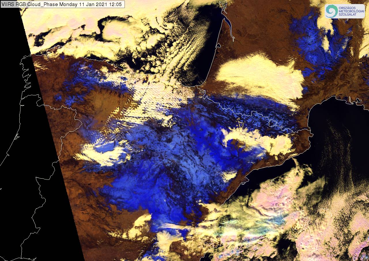
In the Cloud Phase RGB image (Figure 7), snowy areas appear light/medium/dark blue. It is light blue over the Iberian Mountain Chain, where the snow is very likely fine and almost continuous.
Figure 7: NOAA-20 VIIRS Cloud Phase RGB image, 11 January 2021 12:05 UTC.
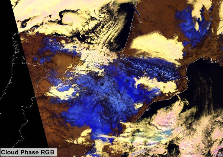
Figure 8 shows the four images of figures 4, 5, 6 and 7 on top of each other. Hover your mouse over the image to use the slider.
Figure 8: 4-Panel display, please use your mouse to compare the four images. NOAA-20 VIIRS VIS0.67, NIR1.6, NIR2.25 and Cloud Phase RGB image, 11 January 2021, 12:05 UTC. The components are visualized according to Table 1.
Note that the satellite zenith angle was large (~59°), as Spain was located close to the edge of the swath during this overpass.

