Vertical Cross Sections
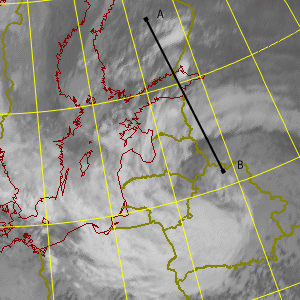
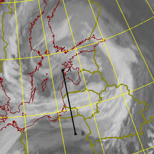
Two sets of Vertical Cross Sections will be shown in this chapter: the first set deals with the events on 9 August 2005 12 UTC in Finland (in relation to the passing Cold Front) and the second set shows the vertical distribution of meteorological parameters 10 Aug 2005/00 UTC - 11 Aug 2005/18 UTC in relation to the prolonged rain in Occluded Front over Lithuania.
Vertical Cross Sections (VCS)

|
Cold Front 09 Aug 2005/12 UTC |

|
Stationary Occlusion Front 10 Aug 2005/00 UTC - 11 Aug 2005/18 UTC:
Isentropes Convergence Vertical Motion (Omega) Temperature Advection |
Summary
In Finland the Vertical Cross Sections show that the cold front was intensive. Convergence within the front extended up to middle troposphere and the ascending motion extended throughout the troposphere. Very dry air could be found right at the rear of the cold front in middle and high layers, explaining the dark colours in water vapour images. Cold advection at low levels was intensive at the rear for the Cold front.
However, very clearly it can be seen that the situation on August, 9 was favourable for pre-frontal convection to occur: potential instability of the air ahead of the Cold front together with Cold air advection at middle and higher levels of troposphere were present. Low-level convergence and associated ascending motion can be seen in the cross sections. In the light of this synoptic environment the sudden development of MCS later in the evening is understandable.
Finally, isentropic structure within and ahead of the Cold front shows that warm air just above the ground is causing the isentropes to develop a "nose" of coldest air not at the lowest layers, but rather at 700-800 hPa. This feature is not uncommon, but it somewhat deviates from the classical concept of textbook Cold Fronts.
In Lithuania the parameters help us to see how the Occluded band developed during the event. Remarkable amount of low-tropospheric convergence and ascending motion are associated with the observed big amounts of precipitation. Also the slow movement of the system is illustrated in the time series. Warm advection can be said to be the main reason for strong ascent within the area. PVA (not shown) was generally small at all layers in this area during the whole event.