Key Parameters
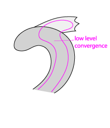
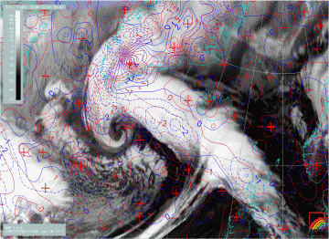
- Convergence, especially in low levels
- Confluent wind vectors, confluence more pronounced than convergence
- Wind vectors: in lower and middle levels different wind regime between Occlusion and Convergence Cloudiness; at higher levels, no noticeable difference
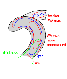
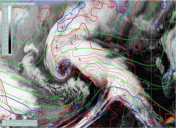
- Often within weak WA
- TFP shows small, but positive values
- Cloud bands connected to the Occlusion tend to be located within a thickness ridge which is less pronounced than with standard Occlusions
|
|
20 December 2008/18.00 UTC - Meteosat 9 IR10.8 image; red: temperature advection 700 hPa, blue: TFP, green: equivalent thickness
|
|
|
20 December 2008/18.00 UTC - Meteosat 9 IR10.8 image; red: divergence 850 hPa, blue: divergence 700 hPa
|


