22 June 2007, 1830 UTC - 23 June2007, 0400 UTC
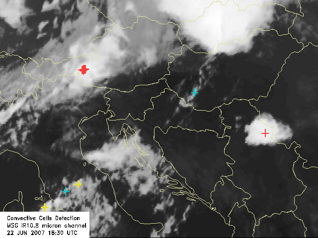
22 June 2007, 1830 UTC
|
Convective cells are detected based upon their
temperature, shape and the difference between the cloud top temperature of the
cell and its surroundings. The weakness of this method is the
fact that the IR signal gives only the temperature of the top, regardless of
the type of the cloud beneath (meaning that the cirrus clouds can also be
considered as convective). This effect is eliminated by some extent by
considering the shape (only the round and oval shaped structures are
analyzed) and the difference from the surrounding pixels (the cloud
has to "stick out" from the surrounding). Regarding the shape
and size of the cells, problems sometimes occur when the cells are very big and flat. If there is a
large area with low temperature the cell will not be detected. This is the reason why
the signs for the cells suddenly "disappear" and then "reappear" in some of the next time steps, although the cell itself
is visible in every image.
|