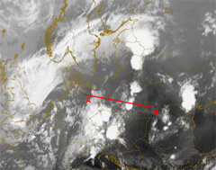
Vertical Cross Section: 30 July 2005:18UTC
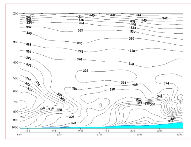
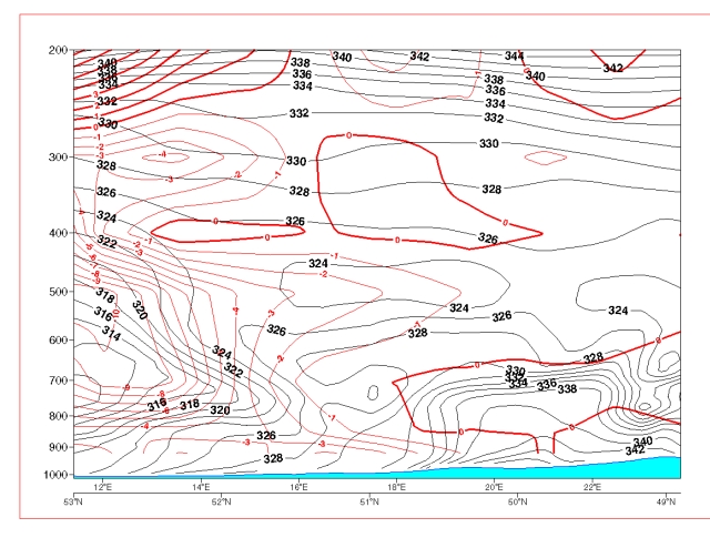
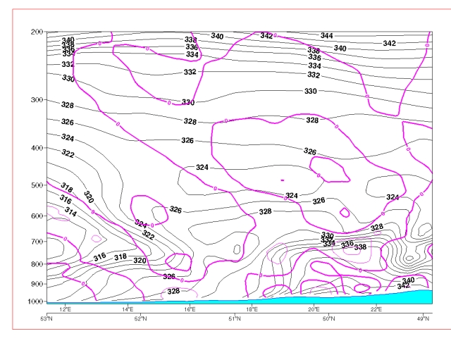
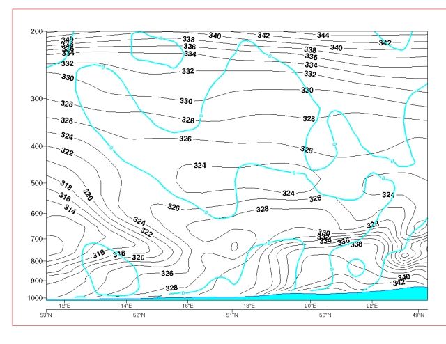
Isentropes
To the west the cold frontal character with foreward aligned isentropes is still well observed. Till 700 hPa the troposphere is clearly governed by an unstable stratification. In the satellite image the prefrontal convergence line is well observed. In this case the isentropes also show an unstable region in the lower troposphere.
To the west the cold frontal character with foreward aligned isentropes is still well observed. Till 700 hPa the troposphere is clearly governed by an unstable stratification. In the satellite image the prefrontal convergence line is well observed. In this case the isentropes also show an unstable region in the lower troposphere.
The VCS was laid from position A to B. Click the image to enlarge.
