Personal Data

In the next web page you will be requested to provide your identifying information (email address – the only mandatory one, name, surname and company name). The purpose of collecting this is to:


Your personal data will be processed and retained only for the purpose for which it was collected. Personal data will not be published, sold or made available for general access or to third parties. You may request to have your data corrected and updated, or if possible, deleted.


Should you have questions regarding the use of your personal data, please contact info@eumetrain.org or tso@eumetrain.org.


The Training Bulletin

Joint newsletter related to new activities and resources
in European meteorological training

// issue XXII - July 2021

Activities & events
//image missing//

CALMET XIV Conference: Bringing Together the Best of Online to Learning

27 September to 01 October 2021

The CALMet XIV Conference will be hosted by Servicio Meteorológico Nacional, Argentina, on 27 September-1 October 2021. This conference will be an event that brings together educators, trainers and managers from universities, research institutions, and National Meteorological and Hydrological Services. It provides an opportunity for a community from around the world to collaborate and network on workforce development, in support of the global weather, water and climate industry.

This year, the CALMet theme will be Bringing Together the Best of Online to Learning. The conference proposes a 'flipped-learning' conference approach - rather than simply a series of presentations, the event will be highly interactive. As it will be entirely online, the conference days will consist of a few live plenary and group sessions for various time zones, as well as interactive opportunities outside the live sessions. The conference will encourage practitioners in the education and training sector to discuss, debate and share views and techniques on the challenges/opportunities arising from the following sub-themes: Education and Training Challenges and Opportunities, Online Teaching and Learning, and Collaboration.
Register for the conference.

//image missing//

Space Weather courses now available

11 to 15 October 2021 / online, classroom

Massive, sporadic eruptions of highly energetic matter and radiation from the Sun can trigger space weather processes in the Earth's atmosphere and magnetosphere. Technology that relies on satellite navigation and radio wave propagation can be impacted, as well as large energy transport systems like electrical grids. Harmful radiation at flight altitude can increase when a solar storm hits Earth.

Impacted stakeholders need to learn about those natural hazards and increase their resilience and awareness. The need for space weather staff, like meteorologists, to meet certain competence levels will increase, as more nations and institutes start to install a space weather room, similar to the familiar forecast rooms.

That is why The Space Weather Education Center now offers a "Space Weather Introductory Course" on the eumetcal.eu portal. The course covers the Sun, solar storms, heliosphere, ionosphere, magnetosphere, instruments and methods to observe solar activity, and reading and interpreting STCE space weather forecasts.

More information can be found in the Eumetcal.eu training catalogue course Space Weather: what, impact, services.

//image missing//

EUMeTrain, HSAF Snow Event Week

22 to 26 November 2021 / Online

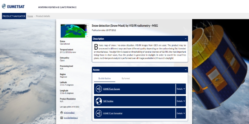
Reliable snow cover extent is of vital importance in understanding the current and future climate, hydrological, and ecological dynamics. Operational snow products, namely H10 (Snow extent (snow mask) by VIS/IR radiometry), H11 (Snow Status (dry/wet) by MW radiometry), H12 (Effective snow cover by VIS/IR radiometry AVHRR), H13 (Snow Water Equivalent by MW radiometry), H31 (Snow extent for flat land (snow mask) by VIS/NIR of SEVIRI) and H32 (Snow detection (global) by VIS/IR radiometry AVHRR) have been developed since 2008 within H SAF. Furthermore, the development of additional snow products is in progress. Considering the different characteristics of snow in mountainous and flat areas, various algorithms are used to produce snow products for these regions. Products are then merged to have a single, coherent snow product.

During this event, H SAF snow products retrieval, visualization, and analysis will be presented. The training will use a Jupyter Notebook, which allows easy and straightforward data analysis and the possibility of live interaction; this Notebook requires little programming knowledge. Users can interact easily with EUMETSAT HSAF snow products and learn how to download, visualize, and perform spatial and temporal analysis of snow cover for an area of interest without getting lost in data formats.

This event will also discuss the validation of the H SAF snow dataset and their contribution in hydrological modelling for water balance evaluation will be presented.

//image missing//

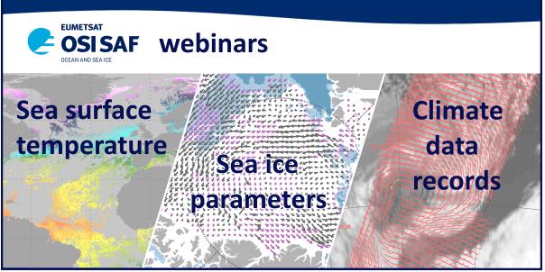
OSI SAF webinars coming soon

Early 2022 / Online

The Ocean and Sea Ice SAF (OSI SAF) team is presenting a series of webinars providing an overview of the OSI SAF products and their applications.

The purpose of each webinar will be to show the products: explain how they are processed and validated, what they can be used for, and how they can be used. New means for accessing the data will be highlighted, and some on-line demonstration will be included.

  • 25 January – Sea Surface Temperature
  • 27 January – Sea ice parameters
  • 1 February – Climate Data Records

The webinars are also an opportunity for participants to ask questions, before or during the event. Users and potential users' feedback are leading OSI SAF development activities and updates.

The webinars are aimed at both existing users of the OSI SAF products and those who are not familiar with these products. They are free and open to all.

More details to come on the OSI SAF website

//image missing//

Supporting Marine EO Educators – Upcoming workshop

30 August to 17 September 2021 / online

IOC/OTGA, EUMETSAT and the Copernicus Marine Service (CMEMS) are running a training workshop: Supporting Marine EO Educators: Professional development, knowledge exchange, and networking workshop. Its purpose is to share knowledge, skills, resources, and code, to help attendees independently train others on available EO tools.

At the end of the course, learners will be able to:

  • Teach the use of Copernicus Sentinel-3 and CMEMS data for marine applications, covering the use of sea surface temperature, altimetry, and ocean colour data, as well as downstream products and model outputs.
  • Show others how to access the Copernicus Marine Data through online portals, APIs, and other methods.
  • Explain the concepts of data quality (including basic principles of validation) and selection of appropriate products when helping students design workflows.
  • Understand the use of the following tools in training – SNAP, Remote Sensing Digital Teaching Tool, Git, Python (and Jupyter notebooks), and cloud computing (WEkEO).
  • Select and adapt existing resources and develop new resources for their own training activities.

The training will take place online from 30 August to 17 September 2021. It is aimed as a knowledge exchange between peers who have, or will have, training responsibilities. Register for the course, until 29 June.

Previous participant Marie Smith explains how useful the course is.

//image missing//

Keep an eye on the Eumetcal Programme announcements!

From November onward / online

Hurrah! A COMET instructional designer has joined the Eumetcal Programme.

In the next two-and-a-half years he will support our community trainers, and others who facilitate training, by building an Expert Centre. This Expert Centre will be a central place for training and continuous development of us trainers AND a place where you can find answers and tips-and-tricks on how to best create effective and active (online) learning activities and material for your people.

Soon the Eumetcal Programme will announce a train-the-trainer course in which you will learn everything you need to know on how to design effective online and blended courses. If you take part you will need to bring an actual course that you are working on because this course has many hands-on exercises (labs) for which you can use your own course material. In this way, you can immediately implement the ideas and principles from the course in your own work.

This train-the-trainer course will start in November, and it would be great if the community could fully benefit from this effort. After all, it is special that we, as the Eumetcal community, were able to acquire COMET expertise to support us in this area of our work.

// issue XXII - July 2021

Resources & Tools
//image missing//

EUMeTrain Product Tutorial on Sea Surface Temperature (SST)

Online

Sea surface temperatures have been measured for more than a hundred years, first using in situ instruments, which provide limited spatial and temporal coverage, and since the 70s via satellite. Depending on the satellite sensor operating wavelength range, the temperature estimations correspond to distinct ocean depths.

EUMeTrain recently published a product tutorial focused on the temperature of the surface emitting layer of ~ 10-20 μm depth, estimated in the infrared region of the electromagnetic spectrum, the Skin Sea Surface Temperature (SST). There are several SST providers and the choice of the most suitable product depends on the user application.

This tutorial introduces SST, explains how it is obtained, and highlights its importance for several applications. Read the SST tutorial.

//image missing//

New ePort functionalities and data

Online

ePort Pro has recently been updated with new functionalities and Land SAF data.

Upper Air Profiles are now included in the visualisation system. These profiles are available for any place on the globe, and show the vertical trend of temperature, humidity and derived parameters such as CAPE and CIN. ECMWF data build the basis for the Upper Air Profiles. Radiosonde data will be included in a next step.

Two full-disk Land Surface Temperature (LST) maps from MSG SEVIRI data have been added to ePort Pro. LST is the radiative skin temperature over land. This product is available for cloud-free land surfaces. The other product, LST - All Sky, is available for all land surfaces, even if clouds are present. This is achieved by applying an algorithm that uses the energy balance of MSG 30-minutes evapotranspiration. The cloudy pixels are identified by the NWC SAF Cloud Mask product.

See the two products on ePort Pro.

//image missing//

COMET learning modules on Satellite based Climate Data Records

COMET / EUMETSAT

Do you work in a climate related area? Are you interested in analysing environmental developments over longer time scales? Then you may have encountered the terms "Climate Data Records" and "Interim Climate Data Records". To learn more about what these are, take a look at the e-learning module "An Introduction to Satellite-based Climate Data Records".

In this module you will converse with different stakeholders to gain a better understanding of what satellite-based Climate Data Records and Interim Climate Data Records are, along with the general process of how both types are constructed. The module emphasizes the characteristics that set satellite-based Climate Data Records apart from other data sets used for climate analysis and provides the learner with the opportunity to identify which type would be appropriate for different scientific inquiries.

COMET and EUMETSAT designed and developed this module and it will be published in July 2021.

Check out the module on this link.

//image missing//

EUMETSAT Marine 'Essentials Pack' training page

Online

The EUMETSAT Copernicus Marine Training Service have put together an open 'Essentials Pack' on using the Copernicus Marine Data Stream (CMDS) for Ocean Applications, aimed at new users of the CMDS, or those wishing to refresh their knowledge. This contains all the background, technical information, and practical tools needed for you to skilfully and independently select the right kind of data for your marine applications; access and visualise ocean colour, temperature and sea surface height data in SNAP, and process said data using Python Jupyter Notebooks.

The Essentials Pack is made up of core modules, plus extra content, and can be completed at your own pace. We have provided a number of instructional videos, written documentation, code, and quizzes to help you along your learning process.

Access the Essentials Pack.

//image missing//

Synoptic and Mesoscale System Analysis 2021 Course Material

Online

The Synoptic and Mesoscale System Analysis course materials are now available on the Eumetcal Learning Portal, which you can access either on the EUMeTrain website or directly on the Eumetcal Learning Management System (LMS), free for Eumetcal members (registration required).

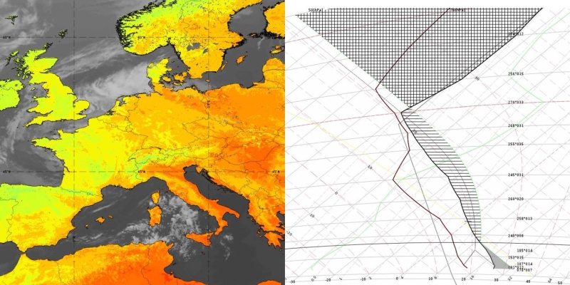
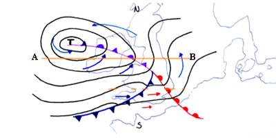
The course was held in January-February 2021 and focused on using satellite imagery in combination with model fields for interpreting mid-latitude cyclones, fronts, frontal sub-structures, mesoscale features in cold air, summer convection, orographic features, and shallow clouds. The next Synoptic and Mesoscale System Analysis course will be held in Autumn 2023.

// issue XXII - July 2021

Stories & Achievements
//image missing//

Move online proves popular

08 June to 11 June 2021 / Online

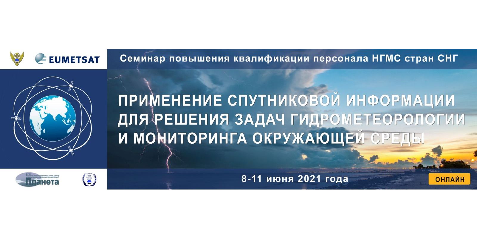
Going online proved to be a good move for this biennial training event for hydro-meteorological staff in Russia and Commonwealth of Independent States (CIS) countries.

Held every two years in Moscow by Planeta (in cooperation with EUMETSAT), this event normally hosts up to 100 participants. This year's online event attracted nearly 500 registrations from nine countries.

To enable better user experience the Brella platform, recently acquired at EUMETSAT, was used. The platform allowed people to effortlessly join the streamed sessions, and to have an easy overview of the event. Presenters used Zoom, which was then streamed via YouTube to Brella. Embedded Slido and chat communications made it easy for attendees to interact with presenters. A number of Brella breakout rooms were available for coffee breaks and poster sessions.

Because of the various time zones, the sessions were organised for three different regions: Russian Far East, Siberia and the European region. NWC SAF and H-SAF colleagues, EUMETSAT and regional Russian experts shared their latest applications.

Turning this regular event into a wider online event was a great opportunity to promote EUMETSAT and SAF products more widely to Russia and CIS countries.

//image missing//

D-A-CH course 2021

26 April to 11 June 2021 / online

This year's online D-A-CH course brought together forecasters from the German-speaking countries of Switzerland, Germany and Austria. Fronts and cyclogenesis, fog, low stratus and drizzle were discussed. Trainers from all three National Weather Services (NMSs) provided learning resources during this six-week period.

To prepare the participants for the classroom session focusing on convection, that subject was also briefly covered in the online session. Vivid discussions and the exchange of knowledge took place during breakout-sessions, and forecasters showed examples of convective weather situations from their personal experience.

The small number of course participants (16) contributed for a enjoyable atmosphere during the whole course and enabled people to (virtually) meet colleagues from other NMSs.

The next D-A-CH course is planned for Autumn 2022 and will be organised by ZAMG in Vienna. It will focus on the interpretation of model parameters in the interdependence of the specific weather situation.

//image missing//

Ocean Applications events in May 2021

17 to 21 May 2021 / Liège colloquium on ocean dynamics
25 to 27 May 2021 / Operational Satellite Oceanography Symposium (OSOS-2)

The 52nd International Liège colloquium on ocean dynamics

EUMETSAT provided training as part the Liège colloquium in May 2021. The training focused on Ocean Colour data from the Copernicus Marine Data Stream (CMDS) and in particular, demonstrating the differences, strengths and weaknesses of the two different Chlorophyll algorithms, namely OC4ME and NN, delivered as standard Level 2 OLCI products. Training materials were provided to the participants a couple of weeks before the colloquium and this was followed by two live training sessions during the conference. Participants were able to pose questions through-out the course and the live sessions were tailored to cover these.

Operational Satellite Oceanography Symposium (OSOS-2)

As part of the OSOS-2 conference, EUMETSAT, NOAA and CMEMS ran a training day on "Operational access and use of Ocean and Coastal Data from the Copernicus Marine Data Stream and from NOAA CoastWatch". The participants were provided with training materials to work through at their own pace prior to the live training session. The live session was held on 28th May and was very successful with a large amount of material, including practical demonstrations, covered during the day.

//image missing//

HIW online course 2021

5 April to 3 May 2021

The online High Impact Weather (HIW) course, by Eumetcal, focused on the use of a particular forecasting method based on Doswell's ingredient-based forecasting method IBM (1996). This method assumes that three ingredients are needed for convection: moisture, lift, instability (and vertical wind shear to take the modes in convection into account).

These convection modes each have their own distinctive characteristics, as regards duration, radar images and, in particular, hazardous weather phenomena (lightning, wind gusts, hail and heavy precipitation). This method has been incorporated into a convection scheme that is currently used at KNMI; it leads, via a few steps, to one of four convection modes. This course explained the method and described a number of typically synoptic situations that yield severe convection with some regularity.

The use of the convection prediction scheme in forecasting convection leads to a better physical understanding of convection, more objective forecasting methodologies, and more accurate forecasts of hazardous weather phenomena.

The 2021 course was very successfu, with participants enthusiastic to learn a lot about convection and a clear convection scheme they can use in their own forecasting centres.

Access the course material.

// issue XXII - July 2021

Jobs & Opportunities

Subscribe to the Jobs & Opportunities tab by clicking on the button below and receive job advertisments when new training jobs are open.


There are currently no jobs and opportunities.