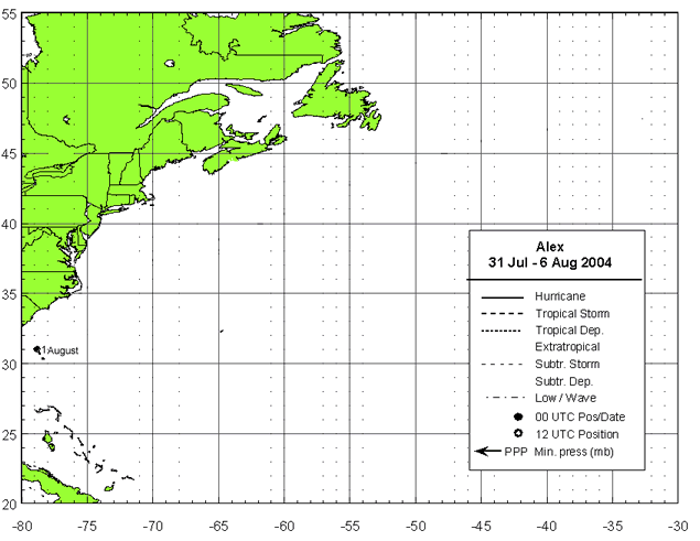

1 August 2004
By 1800 UTC 31 July, when the low centre was located about 175 NM east of Jacksonville, the system had enough convective organization to be classified as a tropical depression.
As the depression approached a break in the subtropical ridge early on 1 August, its forward motion slowed, and the cyclone remained nearly stationary for the next day or so about 115 NM east-southeast of Savannah. The depression remained poorly organized initially, due to northeasterly shear and an environment characterized by subsidence and dry air. However, an upper-level trough was approaching from the west, and in advance of this trough the northeasterly flow over the cyclone began to relax. During this transition the depression was able to strengthen, and it became a tropical storm at 1800 UTC 1 August.