Webcast


Ocean Surface Winds and Sea Level Altimetry
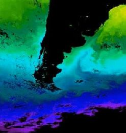
In his presentation, Nuno Moreira focuses on sea surface wind data retrieved from the ASCAT instrument onboard of the MetOp satellite. He shows the wind data in the vicinity of the ITCZ and adds the Severe Storm RGB as additional source of information. Particular attention is laid on the Dust RGB, an interpretation of the relevant colours is given. Sergio Muacho focuses on Jason-2 satellite data. He compares the sea level altimetry data with the ECMWF wave model, pointing out some unusual situations where discrepancies between the two data sources became evident. Two case studies are shown, revealing the importance of having reliable data sources of sea level winds and wave heights. The presentation finishes with an excursion to the repartition of chlorophyll in the southern Atlantic sea
Filed under Keywords:
ASCAT, storm, sea waves, scatterometer, NWP, wave height