Webcast


Frontal Substructures
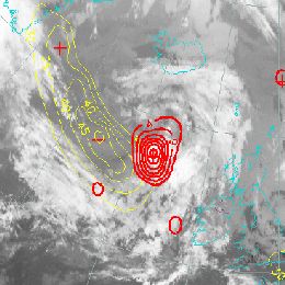
When observing the development of frontal zones in satellite imagery, forecasters should always keep an eye on frontal sub-structures like upper waves, front intensifications or newly developing systems. NWP models sometimes catch the situation, sometimes not. Especially for rapid or small scale developments, model performance may leave a lot to be desired.
In this presentation, the focus will be on comparison between model output and satellite data in relation to fontal sub-structures. Model output such as simulated satellite imagery is easily compared to the most recent satellite images and hence form a perfect tool for estimating the model performance.
Filed under Keywords:
wave, upper wave, jet wave, occlusion, front intensification, jet streak, simulated satellite imagery