Webcast
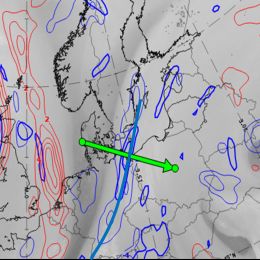


Frontal and sub-frontal structures
Fronts as described in the "Bergen school" by Vilhelm Bjerknes are early conceptual models. Parameters typical for the changing of air masses were named and used by forecasters to recognize transition zones (fronts) between air masses. For nearly a century the method from the Bergen school is applied in the majority of weather rooms all over the world. Satellite information expressed how right Bjerknes was in his CM thinking, but this information showed also that fronts can have a much more complicated structure and live cycle Bjerknes could imagine.
In the lecture we concentrate on warm- and cold fronts and show how we can analyze them with help of CM thinking.
It's not only fronts that forecasters should always keep an eye on, but also the frontal sub-structures like upper waves, front intensifications or newly developing systems. NWP models sometimes catch the situation, sometimes not. Especially for rapid or small scale developments, model performance may leave a lot of gaps in the processes.