Webcast


An Introduction to the GOES-R Geostationary Lightning Mapper
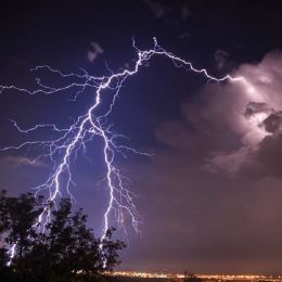
The NOAA Geostationary Operational Environmental Satellite (GOES-R) series provides the continuity for the existing GOES system currently operating over the Western Hemisphere. The Geostationary Lightning Mapper (GLM) represents an advancement over current GOES by providing an entirely new capability for total lightning detection (cloud and cloud-to-ground flashes). The GLM will map total lightning continuously day and night with near-uniform spatial resolution of 8 km with a product latency of less than 20 sec over the Americas and adjacent oceanic regions. The total lightning is very useful for identifying hazardous and severe thunderstorms, monitoring storm intensification and tracking evolution. Used in tandem with radar, visible and infrared satellite imagery, and surface observations, total lightning data has great potential to increase lead time for severe storm warnings, improve aviation safety and efficiency, and increase public safety.
Filed under Keywords:
GOES-R, flashes, GLM