Webcast

Convective Initiation and nowcasting convection at IM
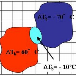
Kris Bedka (University of Wisconsin) and John Mecikalski (University of Alabama) gave a presentation on the Convective Initiation (CI) method. The CI product identifies cumulus-type clouds within an MSG image and uses the temporal evolution of the related MSG observations to identify rapidly growing cumulus as likely candidates to evolve into potentially strong convective storms up to one hour in the future.
This session was continued by the Portuguese Met Service (IM). Besides the diagnostic tools from Numerical Weather Prediction models currently in use, satellite and radar products were addressed, including automatic warnings, e.g. for hail.
Filed under Keywords:
Convection, Thunderstorm, Tornado, Warning, Nowcasting, Radar

