Webcast


Convection in Typical Synoptic Situation
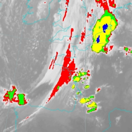
This lecture is about conceptual models connected to strong convective processes. For easier detection and understanding of these clusters, Key parameters are introduced. Most of times there is (Equivalent) Thickness (e.g between 1000 and 500hPa) given along with Potential (Wet Bulb) Temperature at 850 hPa, and together they present parameters for detection of warm areas in Troposphere suitable for convective processes. Low Level Convergence is a key parameter used for detection of areas of high convergence, thus triggering convective areas. Of course, Instability indices are given to track the areas of unstable atmosphere also suitable for cloud development. Some of the physical background and examples of convective processes is shown it this lecture, with help of Satmanu module and satellite images. Also one of the convective cloud features known as a Spanish Plume is descirbed, along with four main types of thunderstorms (Single call, Multicell cluster, Multicell line and Supercell). Presenter of this lecture is Frans Debie, from KNMI.
Filed under Keywords:
Conceptual Models, Synoptic Scale Meteorology, Frontal Structures, Frontal Substructures, Convection, Cold Air Outbreak