Webcast

Using SEVIRI clear-sky moisture retrievals to NearCasting environments in which severe convection is likely and not likely to occur
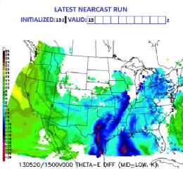
Delineating areas where convection is most/least likely to develop can be difficult, especially in the next 3-9 hours. Knowing how forecasts can extend the usefulness of SEVIRI products from observations to forecasts can be equally challenging. This talk discusses a new forecast tool that addresses a number of questions: How can SEVIRI products be used to monitor and predict areas that are becoming more/less supportive for development of convection? Will the details in the SEVIRI observations be retained by short-range forecast tool? How do the derived SEVIRI forecast products relate to standard satellite forecasting conventions? Can IR satellite observations still be useful after convection has begun and clouds have formed? Are the SEVIRI projections useful for monitoring NWP performance?
Filed under Keywords:
convection, SEVIRI, thunderstorm, convective initiation

