Webcast


Applications for Fog and Low Cloud
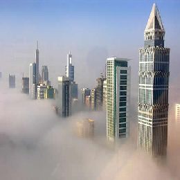
Because we don't know if the cloud observed from satellite is reaching ground or not, it is unrealistic to clam that we can identify fog only using satellite data. Therefore presenter of this lecture is not presenting fog mapping derived only from satellite. Instead he is revealing cloud products extracted from MSG SEVIRI satellite imagery using NWCSAF software, concentrating on the fog or low level clouds category. Lecture is starting with some basic information about SAF nowcasting. After that main features of SAFNWC/MSG cloud algorithms, CM a (cloud mask), CT (cloud type) and CTTH (cloud top temperature and height) are given, step by step with validation results. Also there are examples with fog or low-level clouds situations, including example of automatic use for fog risk mapping.
Filed under Keywords:
Fog, Stratus, Nowcasting