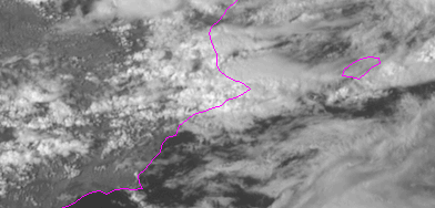
Rapid scan loop
Check below the MSG rapid scan animation through the highest rainfall intensities period, from 14:25 to 15:25 UTC, and the different character of the two convective structures involved.
Questions:
- Can we identify any signal of severe weather potential in this loop?
- Is there any evidence in the loop that can suggest us how the low level mesoscale flow is configured?