11. March 2010
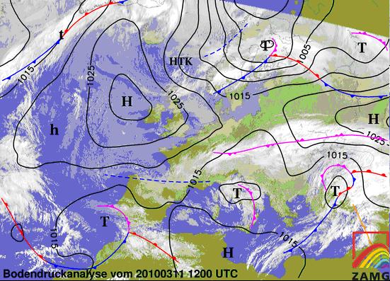
Figure 3.28: 11.3.2010 12UTC - MSG IR; black lines: MSLP; Surface Frontal Analysis
On the 11 March 12UTC the occlusion has passed the Alps and brings last precipitations only in the north of Austria (Fig 3.28/29). The system is weakening fast and the surface low is already filled up and disappeared. The newer frontal system described in Chapter 3.4 has already reached the Adriatic region. On the microphysics RGB (Fig 3.29) the dark reddish areas indicate clouds with ice particles associated with the discussed frontal systems. Over the north of Germany and over the Baltic Sea the white areas are a signal for fog. The synop reports with high humidity, calm air and a couple of fog reports confirm the sat image.
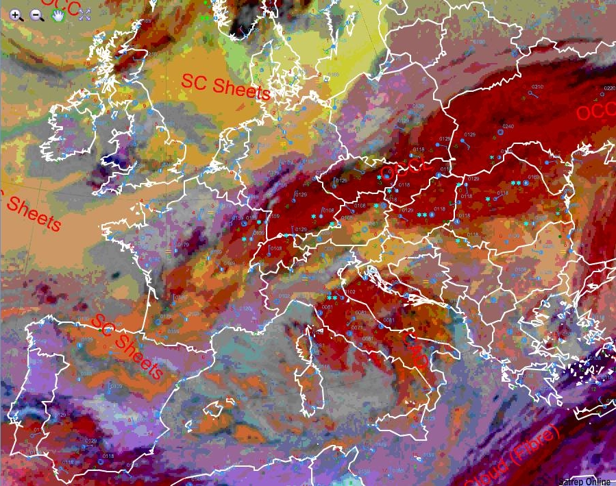
Figure 3.29: 11.3.2010 12UTC - MSG Microphysics RGB wirh overlay SatRep and Synop Reports